Home » Themes » Technology » Industry
100 Years of Yeldulknie WeirPrint Page 
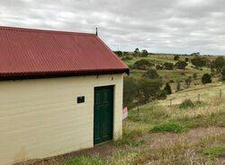
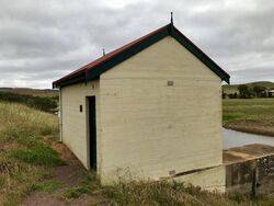
The Yeldulknie Scheme was the first large water conservation and distribution network on the Eyre Peninsula and was constructed to supply Arno Bay and Cowell farming areas with reticulated water. The scheme comprised three small gravity reservoirs – Yeldulknie, Ullabidinie and Ulbana, formed by weirs constructed on three intermittently flowing streams of the same names.
The Yeldulknie Weir was completed in 1912 and supplied water to Arno Bay and the surrounding farming area. Cleve did not receive this reticulated supply as the system relied on gravity. In 1928 the system was connected to the Tod Reservoir Trunk Main as the scheme was incapable of meeting growing demand. In November 1954, the district was linked with the Uley Wanilla water scheme which provided an assured water supply to the area. Although the Reservoir remains, the Engineering and Water Supply Department relinquished its interest in the scheme when the water supply proved to be unreliable.
Location
| Address: | Yeldulknie Road, Yeldulknie Weir, Cleve, 5460 |
|---|---|
| State: | SA |
| Area: | AUS |
| GPS Coordinates: | Lat: -33.691723 Long: 136.544629 Note: GPS Coordinates are approximate. |
Details
| Monument Type: | Plaque |
|---|---|
| Monument Theme: | Technology |
| Sub-Theme: | Industry |
| Approx. Event Start Date: | 1912 |
| Approx. Event End Date: | 2012 |
Dedication
| Approx. Monument Dedication Date: | 2012 |
|---|
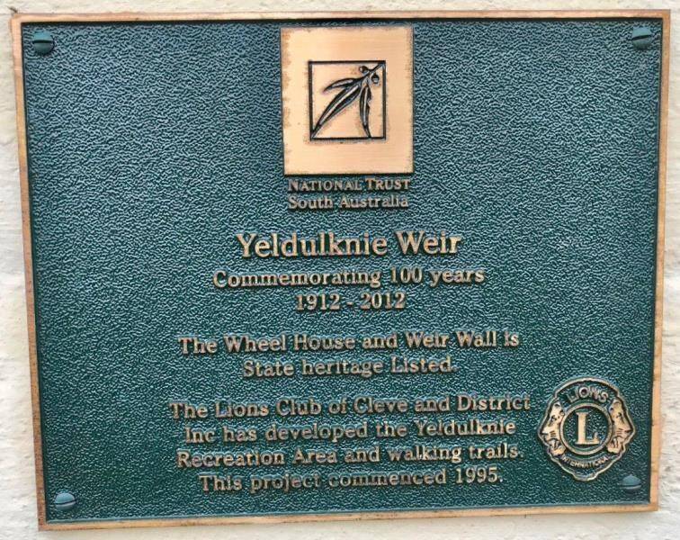
National Trust
South Australia
Yeldulknie Weir
Commemorating 100 years
1912 - 2012
The Wheel House and Weir Wall is
State heritage listed.
The Lions Club of Cleve and District
Inc has developed the Yeldulknie
Recreation Area and walking trails.
This project commenced 1995.


