Home » Themes » People » Settlement
Clarendon Stuart Print Page 
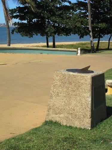
A sundial commemorates the surveyor, Clarendon Stuart, who surveyed large areas of the Townsville District in 1865.
It is a pebble-crete cairn about 60 centimetres high surmounted by a brass sundial and mounted with a bronze plaque memorialising Clarendon Stuart.
Location
| Address: | The Strand, Townsville, 4810 |
|---|---|
| State: | QLD |
| Area: | AUS |
| GPS Coordinates: | Lat: -19.242096 Long: 146.80772 Note: GPS Coordinates are approximate. |
Details
| Monument Type: | Monument |
|---|---|
| Monument Theme: | People |
| Sub-Theme: | Settlement |
Dedication
| Actual Monument Dedication Date: | Saturday 29th October, 1988 |
|---|
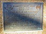
The Institution Of Surveyors, Australia
Queensland Division
Bicentennial Project
"In the steps of our forefathers"
This sundial is dedicated to the memory of surveyor Clarendon Stuart who surveyed the land adjoining Flinders Street in 1865.
Erected by I.S.A. Townsville Town Group in assocation with the Townsville Bicentennial Community Committee Northern Branch, Queensland Division, Institution of Engineering and Mining Surveyors, Australia
Queensland Department of Geographic Information
29 October 1988


