Dr Bruce LambertPrint Page 
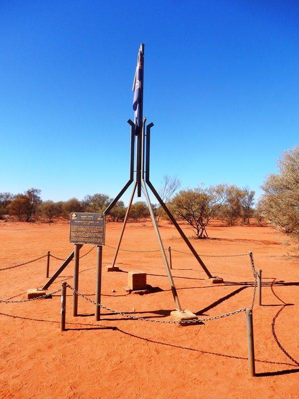
The Lambert Centre of Australia was calculated in 1988 by the Royal Geographical Society of Australia to commemorate the Bicentennial of Federation, and to honor the late Dr. Lambert, former director of the Division of National Mapping and chairman of the National Mapping Council from 1951 to 1977.
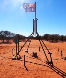
The Lambert Centre was calculated using data from 24,500 high-water marks along Australia’s long coastline, and once the point was located on a map, it was commemorated with this monument, a scaled-down replica of the distinctive flag pole found on top of the Commonwealth Parliament House in Canberra. The plaque was unveiled in August of 1994, attended by the Presidents of the Institute of Surveyors Australia and the Australian Institute of Cartographers.
The monument is erected at the geographical centre of Australia.
Location
| State: | NT |
|---|---|
| Area: | AUS |
| GPS Coordinates: | Lat: -25.610611 Long: 134.354722 Note: GPS Coordinates are approximate. |
Details
| Monument Type: | Monument |
|---|---|
| Monument Theme: | People |
| Sub-Theme: | Science |
Dedication
| Approx. Monument Dedication Date: | August -1994 (plaque) |
|---|
The Institution of Surveyors, Australia Inc.
The Australian Institute of Cartographers
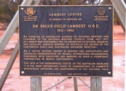
Lambert Centre is named in honour of Dr. Bruce Phillip Lambert O.B.E.
1912 - 1992
As Director of Australia`s Division of National Mapping and Chairman of the National Mapping Council from 1951 - 1977 Dr Lambert was responsible for co-ordination of National Geodetic and Levelling Surveys; Mapping of Australia The Seabed of the Continental Shelf, and Australian Antarctic Territory.
As a United Nations expert in geodesy and cartography and Australian Representative of several international organisations concerned with surveying and mapping, he made a significant contribution to world cartography.
This site is the geographical centre of the Australian mainland it is the most appropriate place to commemorate Dr. Lambert`s widespread activities and achievements in the national field.
Lat. 25º 36` 36-4" Sth. Long. 132º 21` 17-3" East


