Francis Edward RobertsPrint Page 
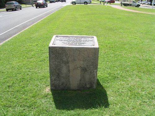
A plaque commemorates the achievements of Francis Edward Roberts who surveyed the Queensland - New South Wales border in 1863.
In 1863 surveyors Francis Edward Roberts from Queensland and Isaiah Rowland from New South Wales were chosen to survey the boundary line. This was between the two colonies from Point Danger to the Dumaresq River. Although two separate surveys were carried out, in many instances both surveyors used the same tree to mark the corners. As a result of the two different surveys, Rowland and Roberts defined the border in different positions. The New South Wales and Queensland governments have since essentially adopted the survey of Roberts in preference to that by Rowland. Rowland finished his survey in 1865 while Roberts finished in 1866.
Location
| Address: | Boundary Street, Near Border Marker , Coolangatta, 4225 |
|---|---|
| State: | QLD |
| Area: | AUS |
| GPS Coordinates: | Lat: -28.168011 Long: 153.543696 Note: GPS Coordinates are approximate. |
Details
| Monument Type: | Plaque |
|---|---|
| Monument Theme: | People |
| Sub-Theme: | Government - Colonial |
| Approx. Event Start Date: | 1863 |
| Approx. Event End Date: | 1866 |
Dedication
| Actual Monument Dedication Date: | Wednesday 1st December, 1948 |
|---|
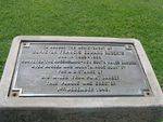
TO HONOUR THE ACHIEVEMENT OF
SURVEYOR FRANCIS EDWARD ROBERTS
   WHO IN 1863-1866
SURVEYED THE QUEENSLAND-NEW SOUTH WALES BORDER
OVER RUGGED AND MOUNTAINOUS COUNTRY
    FOR A DISTANCE OF
215 MILES FROM POINT DANGER
THIS PLAQUE WAS ERECTED
1st DECEMBER 1948.


