Home » Themes » People » Exploration
Willem JanszoonPrint Page 
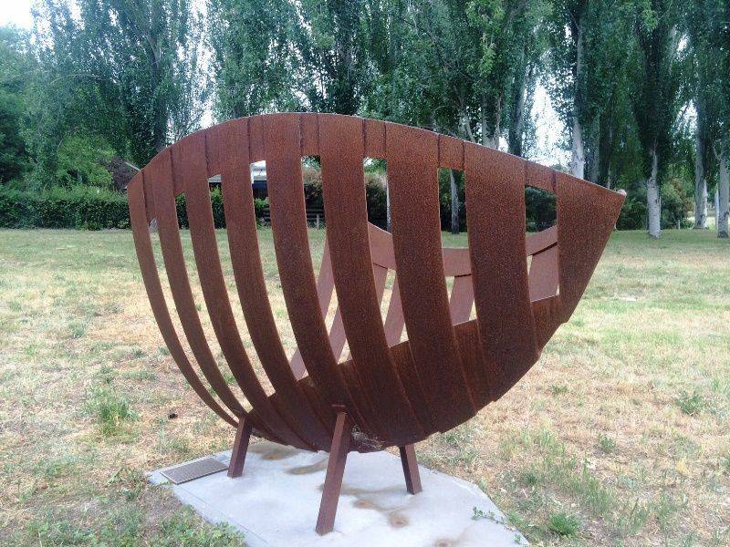
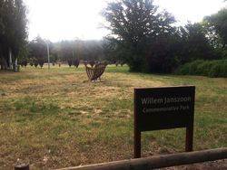
The monument and park commemorate Willem Janszoon (c.1570 - c.1630), the Dutch navigator who was the first person to chart the Australian coast. The memorial commemorates the 400th anniversary of his voyage which was the first recorded contact between Europe and Australia. The erection of the monument was organised by the ACT Committee of Australia On The Map (AOTM) 1606-2006.
On 18 November 1605, Willem Janszoon in the Duyfken sailed from Bantam near Java to the coast of western New Guinea. Janszoon then crossed the eastern end of the Arafura Sea, without seeing the Torres Strait, into the Gulf of Carpentaria.
On 26 February 1606, he made landfall at the Pennefather River on the western shore of Cape York in Queensland, near the modern town of Weipa. This is the first recorded European landfall on the Australian continent. Janszoon proceeded to chart approximately 320 kilometres of the coastline, which he thought was a southerly extension of New Guinea.
Location
| Address: | Jansz Crescent, Willem Janszoon Commemorative Park, Griffith, 2603 |
|---|---|
| State: | ACT |
| Area: | Foreign |
| GPS Coordinates: | Lat: -35.330631 Long: 149.130106 Note: GPS Coordinates are approximate. |
Details
| Monument Type: | Monument |
|---|---|
| Monument Theme: | People |
| Sub-Theme: | Exploration |
| Actual Event Start Date: | 26-February-1606 |
| Designer: | Julie Kennett |
Dedication
| Actual Monument Dedication Date: | Saturday 20th October, 2007 |
|---|
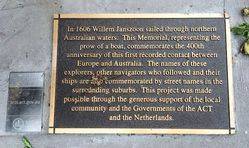
Plaque:
In 1606 Willem Janszoon sailed through northern
Australian waters. This Memorial, representing the
prow of a boat, commemorates the 400th
anniversary of this first recorded contact between
Europe and Australia. The names of these
explorers, other navigators who followed and their
ships are commemorated by street names in the
surrounding suburbs. This project was made
possible through the generous support of the local
community and the Governments of the ACT
and the Netherlands.


