Home » Themes » People » Exploration
Major Thomas Mitchell Print Page 
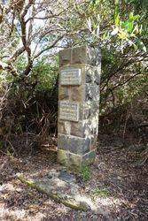
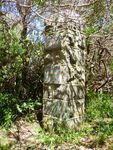
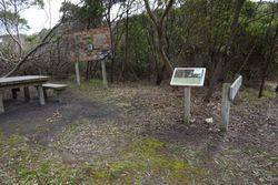
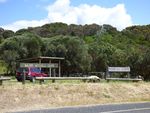
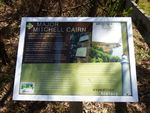
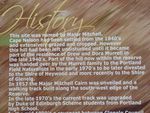
The cairn in the wildflower sanctuary commemorates the furtherest point south reached by Major Thomas Mitchell in his exploration in company with the Henty brothers in 1836.
Major Mitchell, writes :
"On 30th August, 1836, I proceeded with the theodolite to a height near Cape Nelson and from
that station and intersected the cape, also Cape Bridgewater, Cape Grant , and the islands to the east .. .. from here I named Mount Kinkaid after my old friend of Peninsula War recollections."
To those who knew the country, this height will probably be the prominent hill behind Drew Murrell`s house on which a cairn should be erected to Mitchell marking the most southerly point of his overland expedition.
Excerpt from Cape Nelson and its Lighthouse by Noel Learmonth
Portland Guardian (Vic), 13 April 1950.
Location
| Address: | Cape Nelson Road, Picnic Hill Reserve, Portland West, 3305 |
|---|---|
| State: | VIC |
| Area: | AUS |
| GPS Coordinates: | Lat: -38.405632 Long: 141.546105 Note: GPS Coordinates are approximate. |
Details
| Monument Type: | Monument |
|---|---|
| Monument Theme: | People |
| Sub-Theme: | Exploration |
| Actual Event Start Date: | 26-August-1836 |
| Actual Event End Date: | 26-August-1836 |
Dedication
| Actual Monument Dedication Date: | Sunday 27th October, 1957 |
|---|
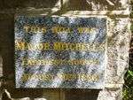
This hill was Major Mitchell's fartherest south
26th August 1836.
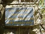
This cairn ws unveiled by P Crosbie Morrison on 27th October 1957


