www.monumentaustralia.org.au
Home » Themes » People » Exploration
Allan Cunningham Print Page 
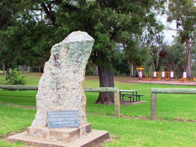
The monument commemorates the crossing of the Gwydir River by the explorer Allan Cunningham in May 1827.
Cunningham's longest, and perhaps most important, journey lasted from 20 January to late August 1827: from the Hunter valley he travelled northward crossing the Peel and Dumaresq Rivers and entered the Darling Downs before returning to the Hunter valley and Bathurst. While in the Darling Downs he found a gap in the ranges, now called Spicers Gap, which he thought would give access from Moreton Bay to the downs, whose fine grazing country he regarded as of major importance.
Location
| Address: | East Street (B95) & Copeton Dam Road, Cunningham Park, Bingara, 2404 |
|---|---|
| State: | NSW |
| Area: | AUS |
| GPS Coordinates: | Lat: -29.864171 Long: 150.575729 Note: GPS Coordinates are approximate. |
Details
| Monument Type: | Monument |
|---|---|
| Monument Theme: | People |
| Sub-Theme: | Exploration |
| Actual Event Start Date: | 21-May-1827 |
| Actual Event End Date: | 21-May-1827 |
Dedication
| Approx. Monument Dedication Date: | 1969 |
|---|
Front Inscription
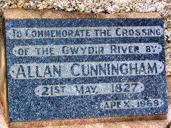
Source: MA, ADBTo Commemorate The Crossing
Of The Gwydir River By
ALLAN CUNNINGHAM
21st May 1827
APEX 1969
Monument details supplied by Monument Australia - www.monumentaustralia.org.au


