Irene HughesPrint Page 
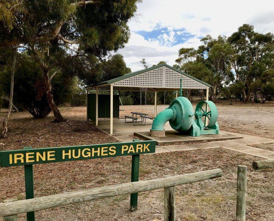
The park commemorates Irene Hughes who documented the history of Mypolonga.
Location
| Address: | Green Street, Irene Hughes Park, Mypolonga, 5264 |
|---|---|
| State: | SA |
| Area: | AUS |
| GPS Coordinates: | Lat: -35.027332 Long: 139.327326 Note: GPS Coordinates are approximate. |
Details
| Monument Type: | Park |
|---|---|
| Monument Theme: | People |
| Sub-Theme: | Community |
Dedication
| Actual Monument Dedication Date: | Thursday 20th November, 2003 |
|---|
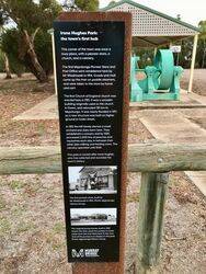
Irene Hughes Park :
the town's first hub
This corner of the town was once a busy place, with a pioneer store, a church, and a cemetery.
The first Mypolonga Pioneer Store and Post Office were established here by Mr Wiadrowski in 1914. Goods and mail came up the river on paddle steamers, and were taken to the store by horse and cart.
The first Church of England church was erected here in 1915. It was a wooden building originally used as the church in Owen, and relocated 130km to Mypolonga. It was nearly flooded in 1917, so a new structure was built on higher ground in Green Street.
In 1915 the Hill family started a small orchard and dairy farm here. They established a cannery and by 1920, processed 2,000 tins of peaches and nectarines each day, in between their other jobs milking and feeding cows. The cannery operated until 1948.
This park is named after Irene Hughes, who has collected and recorded the town's history.


