Home » Themes » Landscape » Settlement
Q150 GPS Mark Print Page 
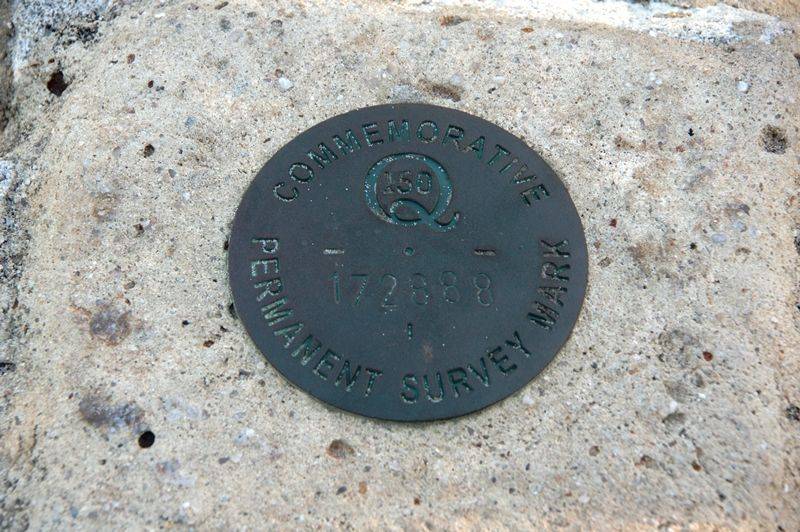
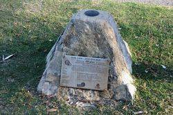
The Q150 GPS mark was erected to commemorate surveyor Alfred Delisser (1832 - 1904).
The spatial sciences profession ( surveyors, map makers and those who work with location information) placed over 60 GPS Marks at significant locations around Queensland during 2009 to commemorate Queensland's 150th anniversary and 150 years of surveying in Queensland.
The marks accurately depict latitude and longitude and provide the public with a means to check the accuracy of their in-car, in-boat and hand-held navigation devices. The project was launched at the Museum of Lands, Mapping and Surveying in Brisbane on 24 June 2009.
Queensland's early explorers were often surveyors. Local members of SSSI (Surveying & Spatial Sciences Institute) Queensland will tell the stories of early surveyors and map makers by placing signs adjacent to many of the GPS Marks and celebrating 150 years of Queensland's history through public events celebrating the past and showcasing the future of the profession.
Location
| Address: | Warne Terrace, Bulcock Beach, Caloundra, 4551 |
|---|---|
| State: | QLD |
| Area: | AUS |
| GPS Coordinates: | Lat: -26.807056 Long: 153.136528 Note: GPS Coordinates are approximate. |
Details
| Monument Type: | Plaque |
|---|---|
| Monument Theme: | Landscape |
| Sub-Theme: | Settlement |
| Approx. Event Start Date: | 1859 |
| Approx. Event End Date: | 2009 |
Dedication
| Approx. Monument Dedication Date: | 2009 |
|---|
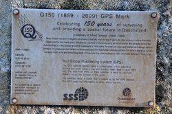
Q150 (1859 - 2009) GPS Mark
Celebrating 150 years of surveying and providing a spatial future in Queensland
In memory of Alfred Delisser (1832 - 1904)
Alfred Delisser was born in England and arrived in Australia when he was 25 years old. After working in various Australian States over the next twenty years, including as a member of the survey party, led by his brother, that surveyed across the Nullabor Plain in 1866, Delisser arrived in Queensland in 1876, wher he undertook crown and freehold land surverys north of Brisbane. He investigated and marked out hinterland roads from Peachester to Maleny and from Montville to Mapleton. He also surveyed much of the land immediately south of Caloundra and a tree he blazed in 1881 still stands at Pelican Waters today.


