Home » Themes » Landscape » Settlement
Goyder Survey CampPrint Page 
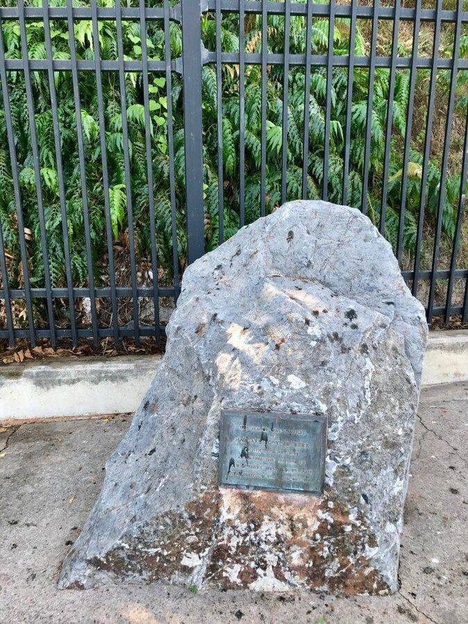
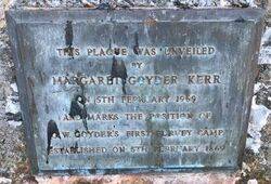
The plaque marks the position of Goyder's survey camp of 1869.
The South Australian Surveyor-General George Goyder and his team sailed into Port Darwin on 5 February 1869. Goyder had travelled from Adelaide by the barque Moonta to survey the lands that would eventually become the town of Palmerston, later called Darwin.
Goyder Park is all that remains of Goyder’s Camp and is significant as the first European settlement in Palmerston from which would grow the modern city of Darwin. George Woodroffe Goyder, Surveyor General of South Australia, landed at an area between Fort Hill and the Darwin escarpment on 5 February 1869.
From this location Goyder’s party surveyed the city that would become Darwin and eight other townships along Northern Territory waterways between February and September. Following Goyder’s departure in September 1869, the camp was occupied for many years during the early settlement and expansion of Darwin. The area is significant as the landing point for the submarine telegraph cable between Java and Darwin that linked Australia to rest of the world in 1871 arising from construction of the overland telegraph line.
Location
| Address: | Kitchener Drive, Goyder Park, Darwin, 0800 |
|---|---|
| State: | NT |
| Area: | AUS |
| GPS Coordinates: | Lat: -12.469189 Long: 130.844011 Note: GPS Coordinates are approximate. |
Details
| Monument Type: | Plaque |
|---|---|
| Monument Theme: | Landscape |
| Sub-Theme: | Settlement |
| Actual Event Start Date: | 05-February-1869 |
Dedication
| Actual Monument Dedication Date: | Wednesday 5th February, 1969 |
|---|
This plaque was unveiled by Margaret Goyder Kerr on 5th February 1969 and marks the position of G. W. Goyder`s first survey camp established on 5th February 1869.


