Home » Themes » Landscape » Settlement
Heytesbury Settlement MemorialPrint Page 
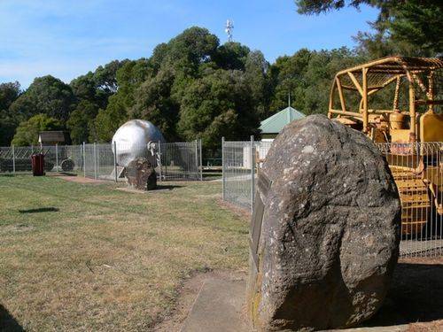
The park commemorates the development of the Heytesbury Settlement area in the 1950s, and the clearing of the Heytesbury Forest, in order to create soldier settlement farms.
The development represented the last Government-sponsored, wholesale clearing of extensive areas of native forest in Victoria, in order to establish an agricultural settlement.
Location
| Address: | Lavers Hill-Cobden Road, Heytesbury Settlement Historical Park, Simpson, 3266 |
|---|---|
| State: | VIC |
| Area: | AUS |
| GPS Coordinates: | Lat: -38.496711 Long: 143.21065 Note: GPS Coordinates are approximate. |
Details
| Monument Type: | Park |
|---|---|
| Monument Theme: | Landscape |
| Sub-Theme: | Settlement |
| Actual Event Start Date: | |
| Actual Event End Date: |
Dedication
| Actual Monument Dedication Date: | Friday 2nd April, 1976 |
|---|
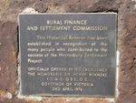
Rural Finance And
Settlement Commission
This Historical Reserve has been
established in recognition of the
many people who contributed to the
success of the Heytesbury Settlement
Project.
Officially Opened By His Excellency,
The Honourable Sir Henry Winneke
K.C.M.G., O.B.E., Q.C.
Governor Of Victoria
2nd April, 1976
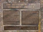
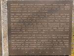
THE HEYTESBURY LAND
SETTLEMENT PROJECT
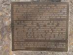
Prior to the formation of the Soldier Settlement Commission in 1946 the large bushland tract known as the Heytesbury Forest was already under consideration as a possible settlement area. The Heytesbury Shire established a commitee with Councillor R. E. Harris as Chairman and F. M. George Esq as Secretary, to help promote the scheme in collaboration with the Otway and Colac Shire Councils and local organisations.
In 1946 an advisory committee headed by J. F. Cockayne and D.D. McKenzie, was appointed by the Soldier Settlement Commission. This Committee actively associated itself with the Commission, the Department of Agriculture and the Commonwealth Scientific and Industrial Research Organisation in the establishment and operation of an experimental area started in 1947. The potential of the country for pastures was clearly demonstrated and in 1956 the Premier, the Honourable Sir Henry Bolte, G.C.M.G. authorised the commencemnt of the project.
In the same year, under the Officer-in-Charge, W.N. Melrose Esq. B.E.M., the Soldier Settlement Commission (later to become the Rural Finance Commission) commenced full scale development.
Modern land clearing equipment went immediately into operation and with pastures progressively becoming established the project was to prove one of the most successful land settlement schemes.
The area developed to pasture was 43,000 hectares. In 1960 the first settlers took up their farms and by 1976 there were 378 families in occupation with further families to follow as additional land was released.
By becoming one of the top dairy production areas in Australia the scheme justified the confidence of those who first advocated its establishment and those who accepted the challenge to bring the country into production from its virgin state.
Credit also goes to the young families who successfully set about consolidating themselves on their own farms.
The township of Simpson is located on the spot where development commenced and is named after the first chairman of the Commission, H. L. Simpson Esq., C.B.E., who with vigour and inspired administration contributed so much to the successful foundation of the scheme.


