Home » Themes » Landscape » Settlement
The ObeliskPrint Page 
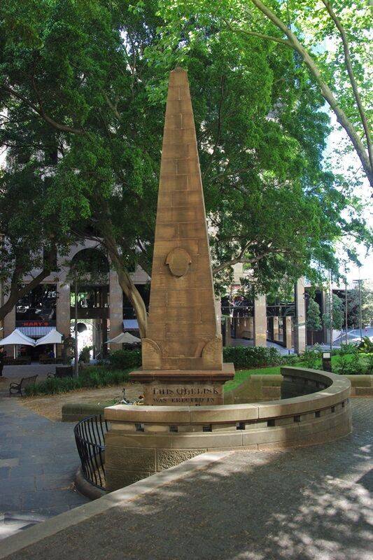
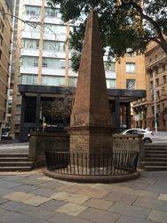
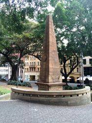
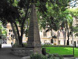
The obelisk is the earliest surviving public monument of Australia`s colonisation. It is supposedly erected on the site where Governor Phillip raised the Union Jack in 1788.
Designed by Francis Greenway and erected in 1818, the large sandstone structure functioned as the zero point for the measurement of early roads in New South Wales. The obelisk was instrumental as a surveying device used for Sydney`s earliest roads as part of the Governor and Mrs Macquarie`s civic improvements.
Location
| Address: | Loftus Street, Macquarie Place Park , Sydney, 2000 |
|---|---|
| State: | NSW |
| Area: | AUS |
| GPS Coordinates: | Lat: -33.863236 Long: 151.210233 Note: GPS Coordinates are approximate. |
Details
| Monument Type: | Monument |
|---|---|
| Monument Theme: | Landscape |
| Sub-Theme: | Settlement |
| Designer: | Frances Greenway |
Dedication
| Approx. Monument Dedication Date: | 1818 |
|---|
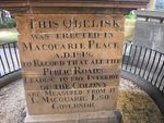
This obelisk was erected in Macquarie Place
A. D. 1818
To record that all the public roads leading to the interior of the Colony are measured from it.
L. Macquarie, Esq
Governor
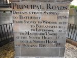
Principal Roads,
Distance from Sydney }
To Bathurst } 137 Miles
From Sydney to Windsor 35½ D º
To Parramatta 15½ "
To Liverpool 20 "
To Macquarie Tower }
At the South Head } 7 "
To the North Head }
Of Botany Bay } 14"


