Home » Themes » Landscape » Settlement
StonyfellPrint Page 
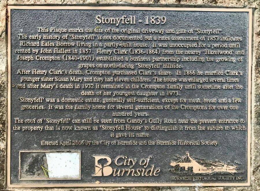
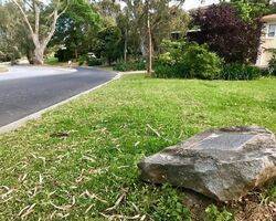
The plaque marks the site of the original driveway and gate of the house called "Stonyfell".
Location
| Address: | Penfold Road, Stonyfell Quarry Park , Stonyfell, 5066 |
|---|---|
| State: | SA |
| Area: | AUS |
| GPS Coordinates: | Lat: -34.931906 Long: 138.677636 Note: GPS Coordinates are approximate. |
Details
| Monument Type: | Plaque |
|---|---|
| Monument Theme: | Landscape |
| Sub-Theme: | Settlement |
Dedication
| Approx. Monument Dedication Date: | April-2006 |
|---|
Stonyfell - 1839
This Plaque marks the site of the original driveway and gate of "Stonyfell".
The early history of "Stonyfell" is not documented but a rates assessment of 1853 indicates Richard Eales Borrow living in a partly-built house. It was unoccupied for a period until rented by John Hallett in 1857. Henry Clark ( 1836 - 1864 ) from the nearby "Hazelwood" and Joseph Crompton ( 1840 - 1901 ) established a business partenership including the growing of grapes on the north-facing "Stonyfell" hillside.
After Henry Clark`s death, Crompton purchased Clark`s share. In 1866 he married Clark`s younger sister Susan Mary and they had eleven children. The house was enlarged several times and after Mary`s death in 1932 it remained in the Crompton family until sometime after the death of her youngest daughter in 1973.
"Stonyfell" was a domestic estate, generally self-sufficient, except for meat, bread and a few groceries. It was the family home for several generations of the Cromptons for over one hundred years.
The roof of "Stonyfell" can still be seen from Gandy's Gully Road near the present entrance to the property that is now known as "Stonyfell House" to distinguish it from the suburb to which it gives its name.
Erected April 2006 by the City of Burnside and the Burnside Historical Society


