www.monumentaustralia.org.au
Home » Themes » Landscape » Settlement
Burial GroundsPrint Page 
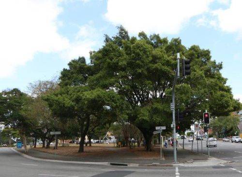
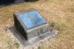
The plaque commemorates the site of the one of Brisbane's earliest burial grounds.
Location
| Address: | Upper Roma & Saul Streets, E. E. McCormick Place, Brisbane, 4000 |
|---|---|
| State: | QLD |
| Area: | AUS |
| GPS Coordinates: | Lat: -27.466352 Long: 153.015376 Note: GPS Coordinates are approximate. |
Details
| Monument Type: | Plaque |
|---|---|
| Monument Theme: | Landscape |
| Sub-Theme: | Settlement |
Dedication
| Approx. Monument Dedication Date: | 1982 |
|---|
Front Inscription
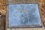
Source: MAThis plaque commemorates the site of the one of Brisbane's earliest burial grounds. Its boundaries are shown in relation to present day street alignments, based on information taken from the survery map prepared by the Surveyor General`s office, Sydney, 18th August 1858.
Donated by Mr Douglas Jolly, 1982.
Monument details supplied by Monument Australia - www.monumentaustralia.org.au


