www.monumentaustralia.org.au
Home » Themes » Landscape » Exploration
Major Thomas Mitchell Print Page 
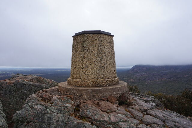
The topograph at Mount Zero commemorates Major Mitchell who climbed and named the mountain during his exploration in 1836.
Note: A topograph is a monument erected in a high place, such as a hilltop, indicating the direction and distance of notable landscape features which can be seen with the naked eye from that point.
Location
| Address: | Mount Zero Road, Grampians National Park, Mount Zero, 3401 |
|---|---|
| State: | VIC |
| Area: | AUS |
| GPS Coordinates: | Lat: -36.885833 Long: 142.369444 Note: GPS Coordinates are approximate. |
Details
| Monument Type: | Monument |
|---|---|
| Monument Theme: | People |
| Sub-Theme: | Exploration |
| Actual Event Start Date: | 20-July-1836 |
| Actual Event End Date: | 20-July-1836 |
| Link: | http://vhd.heritage.vic.gov.au/ |
Dedication
Front Inscription
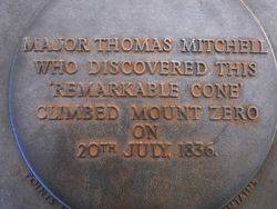
Source: MA,VHD,ADBMajor Thomas Mitchell who discovered this 'remarkable cone' climbed Mount Zero on 20th July 1836
Monument details supplied by Monument Australia - www.monumentaustralia.org.au


