Home » Themes » Landscape » Exploration
Hume & Hovell ExpeditionPrint Page 

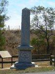
The monument commemorates the expedition of Hume and Hovell and party in 1824. A separate plaque lists the names of other members of the party. The cairn was unveiled in 1924, the centenary year of the exploration.
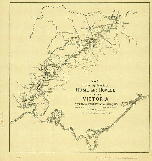
In 1824, Hamilton Hume and William Hovell led an expedition of discovery to find new grazing land for the colony. They and their party trekked south from Appin to Lake George, then on into Victoria, keeping west of the Great Dividing Range and ending up at Corio Bay, on the Victorian coast, where present day Geelong is situated. Hovell mistakenly believed they had arrived at Westernport, and did not realise his mistake until after his return.
At the centenary of Hume and Hovell exploration in 1924 a committee was formed to co-ordinate and organise local celebrations along the route from Albury to Corio Bay. An itinerary was created for the unveiling ceremonies giving the hour and date for each place concerned from 15 to 21 November 1924.
Monuments, cairns or plaques commemorating this expedition were erected at Allan`s Flat, Avenel, Back Creek, Barjarg, Bellbridge, Broadford, Bulla, Deer Park, Ebden, Euroa, Everton, Hansonville, Hume Reservoir, Kilmore, Lara, Lima South, Meadow Creek, Molyullah, Mount Buffalo, Moyhu, Murmungee, Myrtleford, Samaria, Samaria West, Seymour, Staghorn Flat, St Albans, Stanley, Strath Creek, Swanpool, Tatong (Dodd`s Crossing), Violet Town, Warrenbayne West, Werribee, Whorouly, Woodfield Yarck and Yea.
The location of the plaques erected at Lima South is unknown. It is believed that the plaque at Hansonville has come from another location as the date on the plaque does not match the date that the expedition was there.
Location
| Address: | Rennie Street & Princes Highway Service Road, Lara, 3212 |
|---|---|
| State: | VIC |
| Area: | AUS |
| GPS Coordinates: | Lat: -38.038161 Long: 144.414609 Note: GPS Coordinates are approximate. |
Details
| Monument Type: | Monument |
|---|---|
| Monument Theme: | Landscape |
| Sub-Theme: | Exploration |
| Actual Event Start Date: | 17-December-1824 |
| Actual Event End Date: | 17-December-1824 |
| Link: | https://www.sl.nsw.gov.au/stories/h… |
Dedication
| Actual Monument Dedication Date: | Wednesday 17th December, 1924 |
|---|
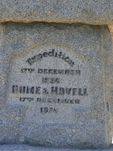
Expedition
17th December 1824
Hume & Hovell
17th December 1924
Companions
Henry Angel, William Bollard, Claude Bossawa
Thomas Boyd, James Fitzpatrick, Thomas Smith


 Memorial Unveiling 1924
