Home » Themes » Landscape » Exploration
Major Thomas Mitchell ExpeditionPrint Page 
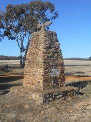
The cairn commemorates the site of Major Thomas Mitchell`s camp in 1836. It was unveiled in 1936, the centenary year of his explorations. An additional plaque was added to the memorial during the Bicentenary celebrations in 1988.
At the unveiling of the Bulla memorial for Hume and Hovell, Charles Daley the Secretary of the Victorian Historical Society suggested that the idea be extended to other explorers and a committee was formed to mark out the routes of Charles Sturt, Thomas Mitchell, Angus McMillan, and Count Paul de Strzelecki.
Thirty-five cairns or tablets to Mitchell were erected at Nyah West, Swan Hill, Cohuna, Mount Pyramid, Fernihurst, Wedderburn, Kanya, Stawell, Mount William, Horsham, Mount Arapiles, Miga Lake, Harrow, Coleraine, Casterton, Dartmoor, Isle of Bags, Portland, Mount Rouse, Mount Napier, Hamilton, Lake Repose, Dunkeld, Middle Creek, Mount Greenock, Mitchellstown, Nagambie, Castlemaine, Expedition Pass, Kyneton, Benalla, Wangaratta, Chiltern, Gooramadda and a public park at Natimuk (Major Mitchell Park, Mount Arapiles, Natimuk).
Miss G. J. Skurrie, head teacher of the Kanya State School, has brought under the notice of the Stawell Shire Council a proposal to erect a cairn at Kanya on the spot where Major Mitchell camped in 1836. The council has decided to undertake the erection of the cairn, and to ask the Kara Kara Shire to co-operate. Miss Skurrie is to be asked to supervise the erection.
Horsham Times (Vic), 6 March 1936.
A memorial cairn is to be unveiled at Kanya on Saturday. 18th inst., on the spot where Major Mitchell camped in 1836. From there Major Mitchell made his visit to the Grampians.
The Age (Melbourne), 7 July 1936.
Location
| Address: | Bolangum Inn & Kanya Roads, Kanya, 3381 |
|---|---|
| State: | VIC |
| Area: | AUS |
| GPS Coordinates: | Lat: -36.782331 Long: 142.998923 Note: GPS Coordinates are approximate. |
Details
| Monument Type: | Monument |
|---|---|
| Monument Theme: | Landscape |
| Sub-Theme: | Exploration |
| Actual Event Start Date: | 12-July-1836 |
| Actual Event End Date: | 16-July-1836 |
| Link: | http://vhd.heritage.vic.gov.au/ |
Dedication
| Actual Monument Dedication Date: | Saturday 18th July, 1936 |
|---|
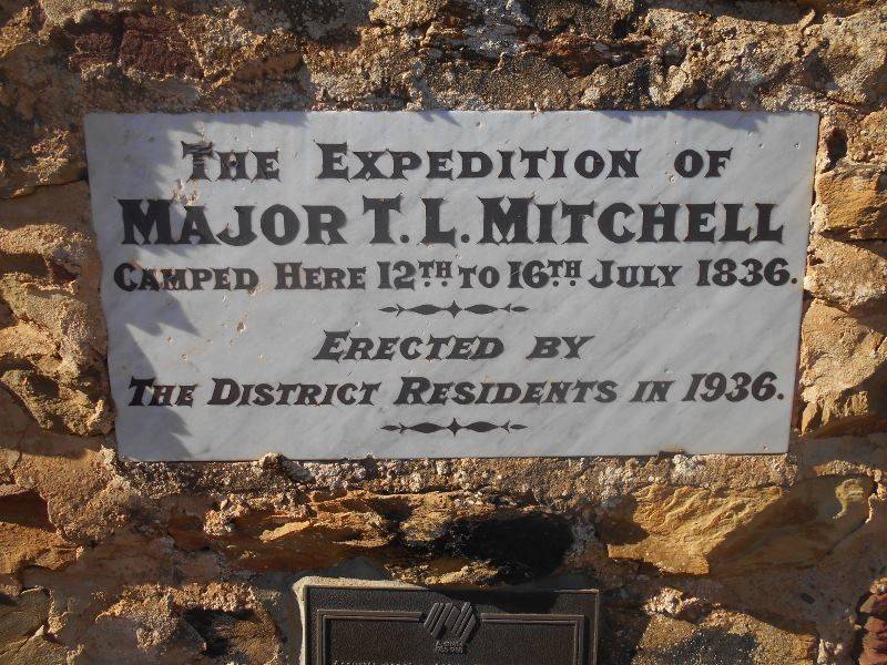
The expedition of Major T. L. Mitchell camped here 12th to 16th July 1836.
Erected by the District residents in 1936
Plaque :
Australia
1788 - 1988
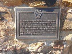
Accurate mapping of Major Sir Thomas Mitchell`s expedition has revealed that he camped about 2.5km south of here on 11 July, 1836.
Major Mitchell`s expedition into 'Australia Felix' is commemorated by the Major Mitchell Trail, an Australian Bicentennial project with financial assistance from the Commonwealth and Victorian Governments.


