Home » Themes » Landscape » Exploration
Major Thomas Mitchell Print Page 
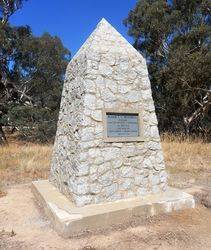
The cairn commemorates Major Thomas Mitchell who passed through the area in 1836. The cairn was unveiled during the centenary year of his exploration.
At the unveiling of the Bulla memorial for Hume and Hovell, Charles Daley the Secretary of the Victorian Historical Society suggested that the idea be extended to other explorers and a committee was formed to mark out the routes of Charles Sturt, Thomas Mitchell, Angus McMillan, and Count Paul de Strzelecki.
Thirty-five cairns or tablets to Mitchell were erected at Nyah West, Swan Hill, Cohuna, Mount Pyramid, Fernihurst, Wedderburn, Kanya, Stawell, Mount William, Horsham, Mount Arapiles, Miga Lake, Harrow, Coleraine, Casterton, Dartmoor, Isle of Bags, Portland, Mount Rouse, Mount Napier, Hamilton, Lake Repose, Dunkeld, Middle Creek, Mount Greenock, Mitchellstown, Nagambie, Castlemaine, Expedition Pass, Kyneton, Benalla, Wangaratta, Chiltern, Gooramadda and a public park at Natimuk (Major Mitchell Park, Mount Arapiles, Natimuk).
In the presence of a large crowd on Saturday afternoon a cairn with an inscribed tablet was unveiled at the bridge at Fernihurst, on the Boort road, to mark the spot where Major Mitchell erected an improvised bridge across the Loddon River. An historical sketch was delivered by Councillor Gray, of the Korong Shire.
Argus (Melbourne), Monday, 31 August 1936.
Location
| Address: | Majors Line Road, Fernihurst, 3518 |
|---|---|
| State: | VIC |
| Area: | AUS |
| GPS Coordinates: | Lat: -36.260778 Long: 143.888722 Note: GPS Coordinates are approximate. |
Details
| Monument Type: | Monument |
|---|---|
| Monument Theme: | People |
| Sub-Theme: | Exploration |
| Actual Event Start Date: | 03-July-1836 |
| Actual Event End Date: | 03-July-1836 |
| Link: | http://adb.anu.edu.au/ |
Dedication
| Actual Monument Dedication Date: | Saturday 29th August, 1936 |
|---|
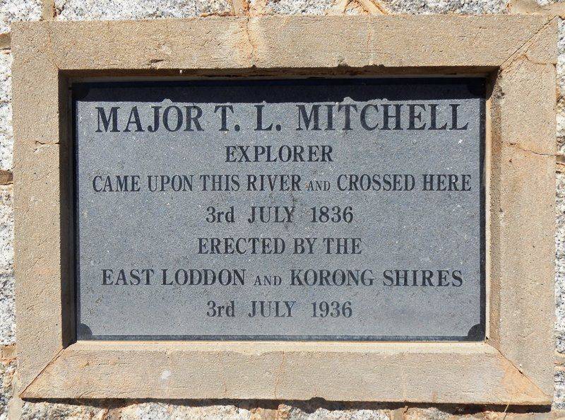
Major T. L. Mitchell explorer came upon this river and crossed here
3rd July 1836
Erected by the East Loddon and Korong Shires
3rd July 1936


