Home » Themes » Landscape » Exploration
175th Anniversary of Hume & Hovell ExpeditionPrint Page 

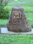
The cairn commemorates the 175th anniversary of Hume and Hovell`s journey of exploration.
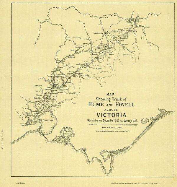
In 1824, Hamilton Hume and William Hovell led an expedition of discovery to find new grazing land for the colony. They and their party trekked south from Appin to Lake George, then on into Victoria, keeping west of the Great Dividing Range and ending up at Corio Bay, on the Victorian coast, where present day Geelong is situated. Hovell mistakenly believed they had arrived at Westernport, and did not realise his mistake until after his return.
Near Beveridge is Mount Fraser (formerly Mount Bland), an eroded extinct volcanic cone. It is a large scoria volcano with two craters, which last erupted about one million years ago. The north side of the hill is quite steep and reaches a height of 125 metres above the surrounding basalt plain. From this location the explorers Hume and Hovell first saw Port Phillip on 14 December 1824.
Location
| Address: | Old Hume Highway (Lithgow Street) , Beveridge, 3753 |
|---|---|
| State: | VIC |
| Area: | AUS |
| GPS Coordinates: | Lat: -37.471866 Long: 144.973869 Note: GPS Coordinates are approximate. |
Details
| Monument Type: | Monument |
|---|---|
| Monument Theme: | Landscape |
| Sub-Theme: | Exploration |
| Actual Event Start Date: | 14-December-1824 |
| Actual Event End Date: | 14-December-1999 |
| Link: | https://www.sl.nsw.gov.au/stories/h… |
Dedication
| Actual Monument Dedication Date: | Sunday 14th February, 1999 |
|---|
This stone celebrates the 175th anniversary of Hume and Hovell`s epic expedition to Beveridge and on through Victoria.
14 - 12 -1824 - 14 - 12 - 1999.
Project of the Rotary Club of Kilmore - Broadford


