Home » Themes » Landscape » Exploration
Sesquicentenary of Charles Sturt ExpeditionPrint Page 
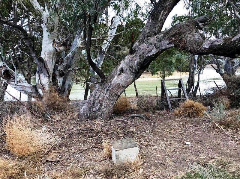
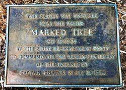
The plaque erected by the Sturt Re-enactment Party commemorates the sesquicentenary of the 1829 journey of Captain Charles Sturt .
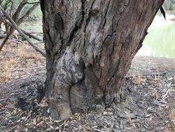
The plaque is situated in front of a Black Box Tree believed to have been marked by Charles Sturt during his exploration of the Murray and Murrumbidgee River.
In 1828–29 Sturt led the first of his major expeditions, tracing the Macquarie, Bogan, and Castlereagh rivers and discovering the Darling River. In his subsequent expedition down the Murrumbidgee, he discovered the Murray River and followed it to its mouth near Adelaide, dealing peaceably with many Aborigines along the way. Exhausted and nearly blinded because of poor diet and overexertion on his trip, he spent 1832–34 recuperating in England, where he wrote Two Expeditions into the Interior of Southern Australia, 1828–31 (1833). The book led to the choice of South Australia as the site for a new British settlement.
Location
| Address: | Mid Western Highway, 4 kilometres northeast of Hay, Hay, 2711 |
|---|---|
| State: | NSW |
| Area: | AUS |
| GPS Coordinates: | Lat: -34.492087 Long: 144.883818 Note: GPS Coordinates are approximate. |
Details
| Monument Type: | Plaque |
|---|---|
| Monument Theme: | Landscape |
| Sub-Theme: | Exploration |
| Approx. Event Start Date: | 1829 |
| Approx. Event End Date: | 1830 |
| Link: | http://adb.anu.edu.au/ |
Dedication
| Actual Monument Dedication Date: | Saturday 17th November, 1979 |
|---|
This plaque was unveiled near the famed "Marked Tree" on 17 - 11 - 79 by the Sturt Re-Enactment Party
To commemorate the sesqui centenary of the journey of Captain Charles Sturt in 1829.


