Home » Themes » Landscape » Exploration
Circumnavigation of TasmaniaPrint Page 
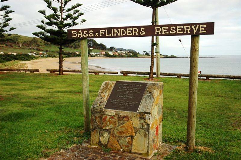
The cairn commemorates the circumnavigation of Tasmania undertaken by George Bass and Matthew Flinders in 1798.
Bass and Flinders were sure that a body of water separated Van Diemen`s Land (now called Tasmania) and the Australian mainland. In 1798 they sailed along the northern coast of Van Dieman`s Land.
They rowed up the Tamar River to near where Launceston is today and later climbed to the top of Mount Wellington which overlooks Hobart. They proved that there was water between Australia and Van Diemen`s Land and it was named Bass Strait by Governor Hunter.
Location
| Address: | Preservation Drive, Bass & Flinders Reserve, Preservation Bay, Penguin, 7331 |
|---|---|
| State: | TAS |
| Area: | AUS |
| GPS Coordinates: | Lat: -41.102567 Long: 146.051978 Note: GPS Coordinates are approximate. |
Details
| Monument Type: | Monument |
|---|---|
| Monument Theme: | Landscape |
| Sub-Theme: | Exploration |
Dedication
| Actual Monument Dedication Date: | Thursday 26th January, 1984 |
|---|
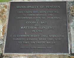
MUNICIPALITY OF PENGUIN
This Cairn Has Been Erected
To Commemorate The
Circumnavigation Of Tasmania
By
GEORGE BASS
And
MATTHEW FLINDERS
In 1798.
It Is Common Belief That Navigator
Flinders Landed Near This Site
To Take On Fresh Water.
Erected 26th January, 1984.


