John Oxley ExpeditionPrint Page 
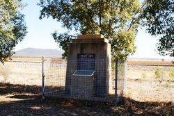
The monument commemorates the exploration journey of John Oxley and his party in 1817. John Oxley and his expedition were the first European men to penetrate inland Australia outside of the Bathurst district.
Extracts of Oxley's journal are included in the memorial with an entry indicating that of the 3rd June 1817 they found a small waterhole under Mount Brogden, now Mount Binya where Allan Cunningham planted the acorn, quince and other fruit stones to commemorate the situation.
Location
| Address: | Burley Griffin Way, 800 metres west of Erigolia Road, Binya, 2665 |
|---|---|
| State: | NSW |
| Area: | AUS |
| GPS Coordinates: | Lat: -34.228577 Long: 146.330133 Note: GPS Coordinates are approximate. |
Details
| Monument Type: | Monument |
|---|---|
| Monument Theme: | Landscape |
| Sub-Theme: | Exploration |
Dedication
| Approx. Monument Dedication Date: | 1964 |
|---|
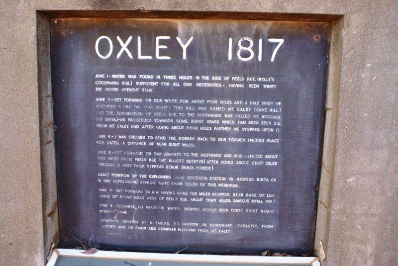
OXLEY 1817
June 1 - Water was found in three holes in the side of Peels Rge. (Kelly`s Cocoparra Rge.) sufficient for all our necessities. - having been thirty six hours without same
June 3 - Set forward on our route, for about four miles and a half, when we ascended a hill on our right. - This hill was named Mt. Caley (Cave Hill) and the termination of Peels Rge. to the southward was called Mt. Brogden (Mt. Binya.) - We proceeded towards some burnt grass which had been seen S. E. from Mt. Caley, and after going about four miles farther we stopped upon it.
June 4 - I was obliged to send the horses back to our former halting place for water, a distance of near eight miles.
June 6 - Set forward on our journey to the westward and N.W., - Halted about two miles from Peels Rge. (Mt. Elliott Reserve) after going about eight miles through very thick cypress scrub. (Binya Forest.)
Exact position of the explores most southern station is across Binya Ck ( a dry depression) approx. sixty chain south of this memorial.
June 7 - Set forward to N. W. having gone ten miles stopped near base of low range of stony hills west of Peels Rge. about eight miles. (Marcus` Myall prk.)
June 9 - Returned to previous water. Horses having been forty eight hours without same.
Situation verified by G. Faulks, R S Griffith in honorary capacity, from latitude, and or chain and compass plotting from Mt. Caley.
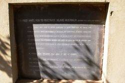
The First White Men To Penetrate Inland Australia Outside Of The Bathurst District.
Oxley`s journal 1817. June 3 - After searching in every direction, no water was found, except in a small hole under Mt. Brogden, and containing scarcely sufficient for the people - Where Cunningham planted the acorn, quince and other fruit stones, to commemorate the situation should the spot be again visited by civilized man.
Oxley added of which I think there is little probability ( legend places this site at Mt. Binya homestead.)
An extract from explorers field book at end of journey.
To.. Although we have not succeeded in achieving what we intended, I feel we have not entirely failed. It is impossible to foresee what would be the future with an artificial economy, and a changed society


