Home » Themes » Government » Federal
Border MarkerPrint Page 
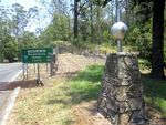
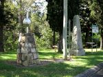
The Border Marker Cairn between New South Wales and Queensland was erected in 2001 to celebrate the Centenary of Federation and commemorate the survey of the Queensland / New South Wales border by surveyors Francis Roberts and Isaiah Rowland between 1863 and 1866.
The Federation of Australia was the process by which the six separate British self-governing colonies of New South Wales, Queensland, South Australia, Tasmania, Victoria and Western Australia formed one nation. They kept the systems of government that they had developed as separate colonies but also would have a federal government that was responsible for matters concerning the whole nation. When the Constitution of Australia came into force, on 1 January 1901, the colonies collectively became states of the Commonwealth of Australia.
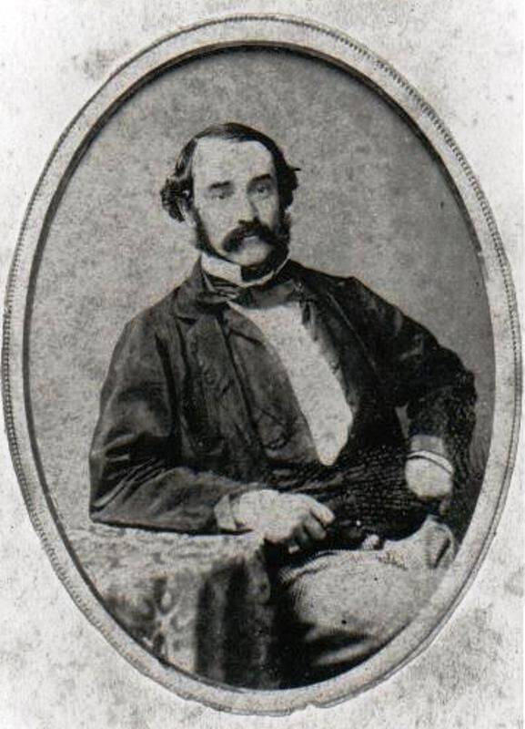
In 1863 surveyors Francis Edward Roberts from Queensland and Isaiah Rowland from New South Wales were chosen to survey the boundary line. Starting from Point Danger in June 1863, the surveyors marked a rock with their initials. The mark included a colony abbreviation and the last two digits of the year. However, the rock mark was lost at the turn of the century, probably due to quarrying.
Although two separate surveys were carried out, in many instances both surveyors used the same tree to mark the corners. As a result of the two different surveys, Rowland and Roberts defined the border in different positions. At the direction of the Queensland Surveyor-General, Roberts deviated from the definable position of the watershed in order to increase accuracy of the survey. The New South Wales and Queensland governments have since essentially adopted the survey of Roberts in preference to that by Rowland.
Location
| Address: | Collins Gap, Mount Lindesay Highway , Mount Lindesay, 4287 |
|---|---|
| State: | QLD |
| Area: | AUS |
| GPS Coordinates: | Lat: -28.33695 Long: 152.70031 Note: GPS Coordinates are approximate. |
Details
| Monument Type: | Monument |
|---|---|
| Monument Theme: | Government |
| Sub-Theme: | Federal |
| Actual Event Start Date: | 1901 |
| Actual Event End Date: | 2001 |
Dedication
| Approx. Monument Dedication Date: | 2001 |
|---|
This Border Marker was erected to celebrate the Centenary of Federation and to commemorate the survey of the QLD - NSW border by surveyors Francis Roberts and Isaiah Rowland 1863 - 1866
Queensland 1901 -2001
Government Centenary of Federation
Queensland


