Home » Themes » Government » Colonial
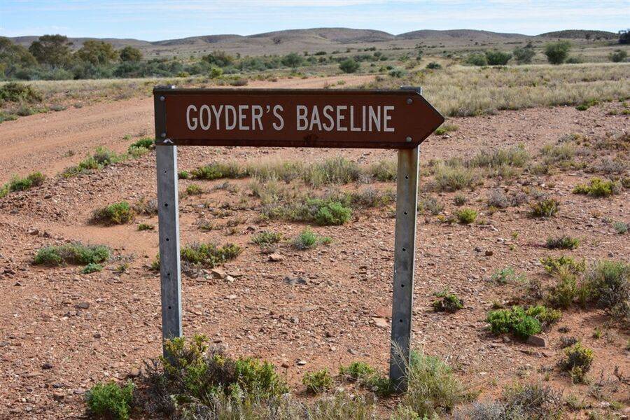
Goyder`s Baseline MemorialPrint Page 
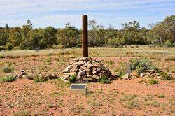
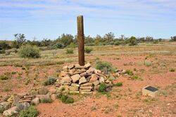
The rock cairn and post mark the 16 mile point on the baseline marked out and accurately measured by surveyor G. W. Goyder in 1858. The line is between Termination Hill to the South and Twenty Mile Hill to the north.
Goyder joined the Department of Lands as chief clerk in January 1853. In quick stages he rose from second assistant to assistant surveyor-general in January 1857. In April he took charge of an exploration to report on country north of pastoral settlement. He was amazed to find Lake Torrens full of fresh water and its flourishing eastern surroundings very different from the desert described by Edward Eyre in 1839.
His exuberant report persuaded the surveyor-general, Captain (Sir) Arthur Freeling, to examine the area in September. No more rain had fallen but hot winds had killed the vegetation and turned the lake into a bed of mud. Freeling returned to criticize Goyder for mistaking flood for permanent water, being misled by mirage and misconceiving the value of the northern country. Although Goyder had proved that Eyre's horseshoe of salt lakes was penetrable and thereby opened the way to further exploration, he was too conscientious to ignore his blunder and in 1859 at his own request led survey parties to triangulate the country between Lakes Torrens and Eyre and to sink wells.
Location
| Address: | Twenty Mile Hill, Farina, 5733 |
|---|---|
| State: | SA |
| Area: | AUS |
| GPS Coordinates: | Lat: -30.023921 Long: 138.064102 Note: GPS Coordinates are approximate. |
Details
| Monument Type: | Cairn |
|---|---|
| Monument Theme: | Government |
| Sub-Theme: | Colonial |
| Link: | http://adb.anu.edu.au/ |
Dedication
| Actual Monument Dedication Date: | Sunday 25th May, 1986 |
|---|
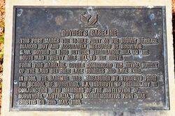
Goyder`s Baseline
This post marks the 16 - mile point on the survey baseline marked out and accurately measured by Surveyor G. W. Goyder in 1858 between Termination Hill to the south and Twenty Mile Hill to the north.
From this baseline, Goyder commenced the initial survey of the land between Lake Torrens and Lake Eyre.
In 1986, the baseline was remeasured by students from the School of Surveying, S. A. Institute of Technology in conjunction with members of the Institution of Surveyors, Australia.
This commemorative post was erected on 25th May, 1986.


