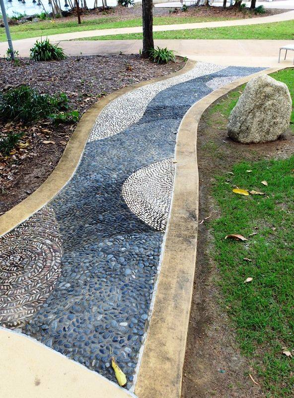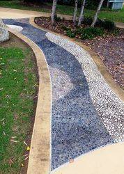
Cyclone Yasi Commemorative Reflexology PathwayPrint Page 
A walkway commemorates tropical Cyclone Yasi which impacted Cardwell early on the morning of the 3rd of February 2011, damaging 75 per cent of the town's buildings, destroying the marina and wiping out crops.
Category five Cyclone Yasi crossed the far north Queensland coast near Mission Beach, between Cairns and Townsville, in the early hours of February 3, 2011, bringing peak wind gusts estimated at 285 kilometres per hour. The massive storm destroyed homes, shredded crops and smashed marinas and island resorts as it roared ashore. Because it was such a large, strong storm, Yasi maintained considerable intensity as it tracked inland into the state's north-west, finally weakening to a tropical low near Mount Isa more than 20 hours after it crossed the coast.
While Cardwell, Tully, Mission Beach, Innisfail and many surrounding townships were badly damaged, the far north's major cities, Cairns and Townsville, escaped relatively unscathed.
Location
| Address: | Bruce Highway, Information Centre, Cardwell, 4849 |
|---|---|
| State: | QLD |
| Area: | AUS |
| GPS Coordinates: | Lat: -18.263056 Long: 146.025292 Note: GPS Coordinates are approximate. |
Details
| Monument Type: | Walkway |
|---|---|
| Monument Theme: | Disaster |
| Sub-Theme: | Storms |
| Actual Event Start Date: | 03-February-2011 |
| Actual Event End Date: | 03-February-2011 |
Dedication
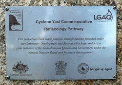
Plaque :
Cyclone Yasi Commemorative
Reflexology Pathway
This project has been made possible through funding provided under the Community Development and Recovery Package, which is a joint initiative of the Australian and Queensland Government under the Natural Disaster Relief and Recovery arrangments
Australian Government
Queensland Government Operation Queenslander


