Theodore Flood EventPrint Page 
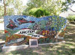
The mosaic recognises the strength of the Theodore community in response to the flooding of town in December 2010 and January 2011.
On 28 December 2010, a mandatory evacuation was ordered for the township of Theodore. As the town was isolated by floodwater, the community was evacuated by helicopter to the towns of Cracow, Moura and Biloela. On 1 January 2011, the Dawson River peaked at a height of 14.7m. Residents were able to return to the town 12 days after they were evacuated.
Location
| Address: | The Boulevard, Junction Park, Theodore, 4719 |
|---|---|
| State: | QLD |
| Area: | AUS |
| GPS Coordinates: | Lat: -24.953969 Long: 150.074687 Note: GPS Coordinates are approximate. |
Details
| Monument Type: | Art |
|---|---|
| Monument Theme: | Disaster |
| Sub-Theme: | Flood |
| Actual Event Start Date: | 28-December-2010 |
| Actual Event End Date: | 09-January-2011 |
| Artist: | Tracey Hewitt (Theodore, QLD) |
Dedication
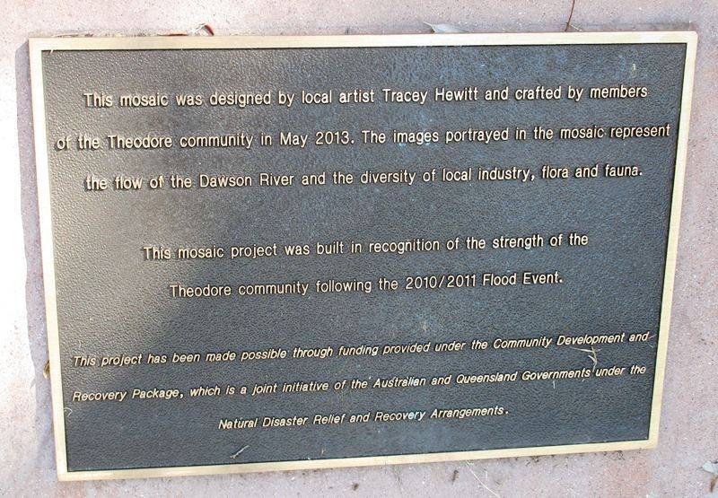
This mosaic was designed by local artist Tracey Hewitt and crafted by members of the Theodore community in May 2013.
The images portrayed in the mosaic represent the flow of the Dawson River and the diversity of local industry, flora and fauna.
This mosaic project was built in recognition of the strength of the Theodore community following the 2010 / 2011 flood event.
This project has been made possible through funding provided under the Community Development and Recovery Package, which is a joint initiative of the Australian and Queensland Governments under the Natural Disaster Relief and Recovery Arrangements.


