Evacuation of TheodorePrint Page 
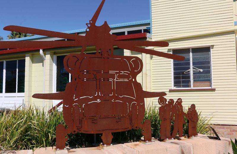
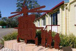
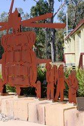
The sculpture commemorates the evacuation of Theodore on 28 December 2010 during the significant flooding of the Dawson River and recognises the role of the civil and military helicopters during this event.
The residents were returned to the town on 9 January 2011.
Location
| Address: | 30 The Boulevard, Near Memorial Hall, Theodore, 4719 |
|---|---|
| State: | QLD |
| Area: | AUS |
| GPS Coordinates: | Lat: -24.950128 Long: 150.075311 Note: GPS Coordinates are approximate. |
Details
| Monument Type: | Monument |
|---|---|
| Monument Theme: | Disaster |
| Sub-Theme: | Flood |
| Actual Event Start Date: | 28-December-2010 |
| Actual Event End Date: | 09-January-2011 |
Dedication
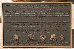
In late 2010 and early 2011, the state of Queensland was affected by several severe weather events that saw major flooding across the State. The Banana Shire was significantly impacted.
On 28 December 2010, a mandatory evacuation was ordered for the township of Theodore. As the town was isolated by floodwater, the community was evacuated by helicopter to the towns of Cracow, Moura and Biloela. On 1 January 2011, the Dawson River peaked at a height of 14.7m. Residents were able to return to the town 12 days after they were evacuated.
This sculpture commemorates a significant event in the history of Theodore. It recognises the role of the civil and military helicopters during this event. The Theodore community recognises and appreciates the efforts of the aviators and aircrews in rescuing, evacuating and supplying people isolated by flood water.
It is a testament to the resilience of our communities that there are few physical reminders of the impact of this event on Theodore and across the Banana Shire.


