www.monumentaustralia.org.au
Murphys Creek FloodPrint Page 
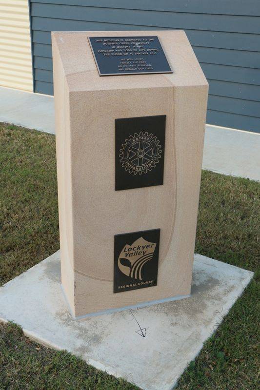
The community centre commemorates the loss of life and hardship that occured in Murphys Creek in the flood of January 2011.
The Lockyer Valley experienced a rare and damaging flood on the afternoon of the 10th January 2011. The lives of 19 people were tragically lost and many houses were destroyed.
At the township of Murphys Creek, flooding began between approximately 1.45 pm and 2.00 pm. A witness who lived at Upper Lockyer near the town said that at about 1.47 pm he saw a wave of water in the creek breaking in the distance; the force of the approaching water was ripping out trees in its path. The level of the creek rose about 12 metres in 12 minutes. By 2.51 pm, the water level had receded significantly. A resident in the Murphys Creek township said that at about 2.00 pm, water started coming down the road carrying rain water tanks and other large items. Two people drowned at Murphys Creek.
View Google Map
The Lockyer Valley experienced a rare and damaging flood on the afternoon of the 10th January 2011. The lives of 19 people were tragically lost and many houses were destroyed.
At the township of Murphys Creek, flooding began between approximately 1.45 pm and 2.00 pm. A witness who lived at Upper Lockyer near the town said that at about 1.47 pm he saw a wave of water in the creek breaking in the distance; the force of the approaching water was ripping out trees in its path. The level of the creek rose about 12 metres in 12 minutes. By 2.51 pm, the water level had receded significantly. A resident in the Murphys Creek township said that at about 2.00 pm, water started coming down the road carrying rain water tanks and other large items. Two people drowned at Murphys Creek.
Location
| Address: | Jessie Lane, Murphys Creek, 4352 |
|---|---|
| State: | QLD |
| Area: | AUS |
| GPS Coordinates: | Lat: -27.459636 Long: 152.056998 Note: GPS Coordinates are approximate. |
Details
| Monument Type: | Structure |
|---|---|
| Monument Theme: | Disaster |
| Sub-Theme: | Flood |
| Actual Event Start Date: | 10-January-2011 |
| Actual Event End Date: | 10-January-2011 |
Dedication
Front Inscription
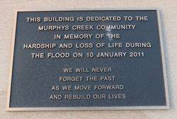
Source: MAThis building is dedicated to the Murphys Creek community
In memory of the hardship and loss of life during the flood on 10 January 2011
We will never forget the past as we move forward and rebuild our lives
Monument details supplied by Monument Australia - www.monumentaustralia.org.au


