Goyder`s LinePrint Page 
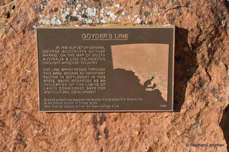
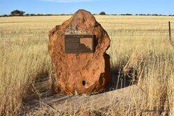
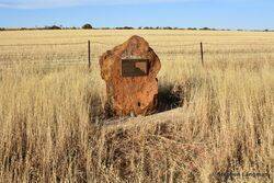
The memorial, erected by the Royal Geographical Society (SA) in 1985, commemorates Surveyor-General George Goyder who marked a line on a map of South Australia delineating drought affected country.
In 1865 Goyder was directed to go north and from his own observations to lay down on the map `the line of demarcation between that portion of the country where the rainfall has extended, and that where the drought prevails`. With a small mounted party he went to Swan Reach on the River Murray and then north-west to Pekina, east to Melrose and returned through Crystal Brook to Adelaide.
A map published in 1866 showed his line of travel with a wing sweeping east from the Murray to the Victorian border and another from Spencer Gulf far to the west. Goyder`s rainfall line was first used for the reassessment of leases and the relief of stricken pastoralists.
Note: The Royal Geographical Society of South Australia is actively involved in the establishment of monuments and memorials in memory of the explorers and geographers of South Australia.
Location
| Address: | Goyder Highway, Crystal Brook, 5523 |
|---|---|
| State: | SA |
| Area: | AUS |
| GPS Coordinates: | Lat: -33.367389 Long: 138.224306 Note: GPS Coordinates are approximate. |
Details
| Monument Type: | Monument |
|---|---|
| Monument Theme: | Disaster |
| Sub-Theme: | Drought |
Dedication
| Approx. Monument Dedication Date: | 1985 |
|---|
Goyder`s Line
In 1865 Surveyor-General George Woodroffe Goyder marked on the map of South Australia a line delineating drought - affected country.
The line, which passes through this area, became an important factor in settlement in this State, being regarded as an indication of the limits of lands considered safe for agricultural development.
Erected by the Royal Geographical Society of Australasia (S. A. Branch ) Inc. & the District Council of Crystal Brook with financial assistance from the State Heritage Fund.
1985


