www.monumentaustralia.org.au
Sanderston ChurchPrint Page 
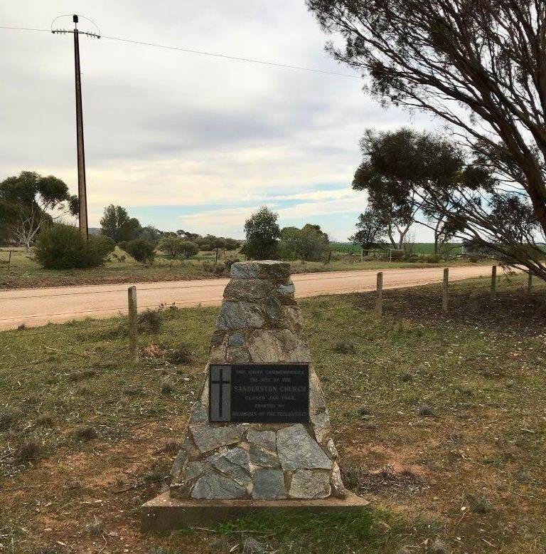
The cairn commemorates the site of the former Sanderston church which closed in January 1968.
The church opened as the Baptist Church in 1908 and joined the Congregational Union in 1956 and was closed in 1968.
Location
| Address: | Walker Flat - Mount Pleasant Road & The Pines Road, Sanderston, 5273 |
|---|---|
| State: | SA |
| Area: | AUS |
| GPS Coordinates: | Lat: -34.756234 Long: 139.220621 Note: GPS Coordinates are approximate. |
Details
| Monument Type: | Monument |
|---|---|
| Monument Theme: | Culture |
| Sub-Theme: | Religion |
Dedication
Front Inscription
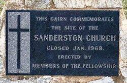
Source: MAThis cairn commemorates the site of the Sanderston Church
Closed Jan. 1968.
Erected by members of The Fellowship
Monument details supplied by Monument Australia - www.monumentaustralia.org.au


