Perenjori & Districts Residents Identity WallPrint Page 
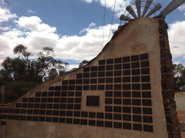
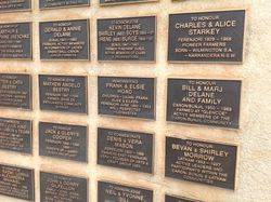
The wall commemorates the residents of Perenjori Shire for their contibutions to the community.
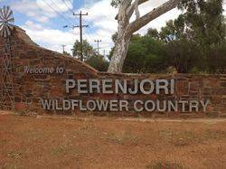
The Perenjori area was first explored by John Forrest in 1869 but it wasn¹t until gold was discovered at Rothsay in 1894 that any significant settlement occurred. The township was established in the years immediately prior to World War I when the land in the region was opened for selection. The first few years were extremely hard and the farmers struggled to survive but the arrival of the railway in 1915 and improved cropping methods eventually saw the district prosper.
Location
| Address: | Carnarmah - Perenjori Road & Fowler Street, Perenjori, 6620 |
|---|---|
| State: | WA |
| Area: | AUS |
| GPS Coordinates: | Lat: -29.443362 Long: 116.288296 Note: GPS Coordinates are approximate. |
Details
| Monument Type: | Structure |
|---|---|
| Monument Theme: | Culture |
| Sub-Theme: | Community |
Dedication
| Actual Monument Dedication Date: | Sunday 10th September, 2000 |
|---|
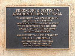
Perenjori & Districts Residents Identity Wall
This Identity Wall was opened to allow past and present residents of Perenjori Shire to be recognised for the time spent and the contributions made to the District.
The Identity Wall was opened by Mr. E. J. L. Chappel J.P. (Past President and Councillor, Shire of Perenjori 1960 - 1980)
Sunday 10th September 2000


