www.monumentaustralia.org.au
Home » Themes » Conflict » World War Two
Australia Remembers 1945-1995Print Page 
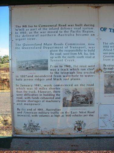
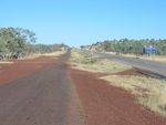
The sign commemorates the 50th anniversary of the end of World War Two and details the history of the Mt Isa to Camooweal road which was used during the conflict.
"Australia Remembers, 1945 - 1995" was a program of activities organised by the Federal Government to commemorate the 50th anniversary of the end of World War Two.
Location
| Address: | Barkly Highway, 29 Mile Bore |
|---|---|
| State: | QLD |
| Area: | AUS |
| GPS Coordinates: | Lat: -20.382961 Long: 139.323094 Note: GPS Coordinates are approximate. |
Details
| Monument Type: | Sign |
|---|---|
| Monument Theme: | Conflict |
| Sub-Theme: | WW2 |
| Actual Event Start Date: | 15-August-1945 |
| Actual Event End Date: | 15-August-1995 |
Monument details supplied by Monument Australia - www.monumentaustralia.org.au


