Gallipoli ReachPrint Page 
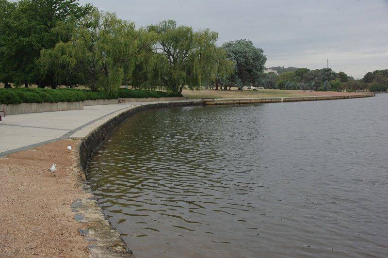
Gallipoli Reach was named on ANZAC Day 1985 to symbolise the battle site in Turkey where Australian and New Zealand forces fought in 1915 during World War One. Turkey reciprocated by naming landing site at Gallipoli, ‘ANZAC Cove’.
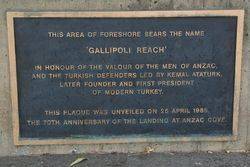
The plaque commemorates the valour of the men of ANZAC and the Turkish defenders, led by General Kemal Ataturk.
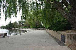
Gallipoli Reach comprises the shoreline of Lake Burley Griffin, between Nerang Pool in Commonwealth Park and Aspen Island in Kings Park.
Location
| Address: | Parkes Way , Foreshore, Kings Park, Parkes, 2600 |
|---|---|
| State: | ACT |
| Area: | AUS |
| GPS Coordinates: | Lat: -35.291597 Long: 149.138507 Note: GPS Coordinates are approximate. |
Details
| Monument Type: | Natural Feature |
|---|---|
| Monument Theme: | Conflict |
| Sub-Theme: | WW1 |
| Actual Event Start Date: | 04-August-1914 |
| Actual Event End Date: | 28-June-1919 |
Dedication
| Actual Monument Dedication Date: | Thursday 25th April, 1985 |
|---|
This Area Of Foreshore Bears The Name
`GALLIPOLI REACH`
In Honour Of The Valour Of The Men Of ANZAC,
And The Turkish Defenders Led By Kemal Ataturk,
Later Founder And First President
Of Modern Turkey.
This Plaque Was Unveiled On 25 April 1985,
The 70th Anniversary Of The Landing At ANZAC Cove.


