Latham - Maya Pioneers & Identity WallPrint Page 
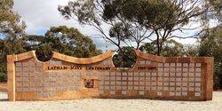
The wall commemorates the past and present residents of the Latham - Maya Districts from 1909 and was unveiled during the centenary in 2009.
Latham and Maya are small adjacent towns in the Mid West region of Western Australia. The surrounding areas produce wheat and other cereal crops.
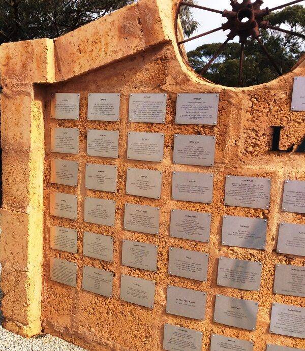
Each of the 149 plaques attached to the wall recognise families who resided in the district during its history. They include their names, the years they lived there and a brief story of what they did in the district.
Latham derives its name from Latham Rock, a large granite rock about 3 kilometres south east of the town site. The naming of the rock honours Francis Arthur Latham, an early pastoralist of the region who established a watering place there for stock being droved through the district. In 1909 settlers looking for prospective farmland followed the track Latham had made from Coorow and named the place Latham’s Rock. The town site was gazetted in 1917.
Maya is derived from Pocanmaya, the Aboriginal name of a spring in the vicinity, first recorded by a surveyor in 1876. The town site was gazetted in July 1913.
Location
| Address: | Britt & Fox Streets, Latham, 6616 |
|---|---|
| State: | WA |
| Area: | AUS |
| GPS Coordinates: | Lat: -29.759592 Long: 116.446074 Note: GPS Coordinates are approximate. |
Details
| Monument Type: | Monument |
|---|---|
| Monument Theme: | Landscape |
| Sub-Theme: | Settlement |
| Approx. Event Start Date: | 1909 |
| Approx. Event End Date: | 2009 |
Dedication
| Actual Monument Dedication Date: | Saturday 12th September, 2009 |
|---|
LATHAM - MAYA CENTENARY 1909 - 2009
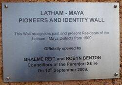
Plaque :
Latham - Maya
Pioneers And Identity Wall
This wall recognises past and present Residents of the
Latham - Maya Districts from 1909.
Officially opened by
GRAEME REID and ROBYN BENTON
Councillors of the Perenjori Shire
on 12th September 2009.


