www.monumentaustralia.org.au
Home » Themes » Technology » Industry
25 Years of Closer Settlement & Irrigation Farming at InvergordonPrint Page 
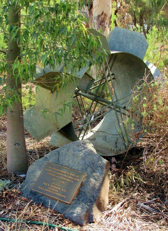
The plaque and irrigation machinery commemorate 25 years of Closer Settlement and Irrigation Farming at Invergordon 1961-1986.
Invergordon, a dairying and orcharding area in north-central Victoria, is 30 km north-east of Shepparton.
View Google Map
Invergordon, a dairying and orcharding area in north-central Victoria, is 30 km north-east of Shepparton.
In the 1950s the State Rivers and Water Supply Commission began the construction of channels and drains for irrigation water from the East Goulburn Channel. One hundred and seventy dairy and orchard holdings were created, mostly for soldier settlement. The small area schools had been closed in 1948 and 1954, but the newly added population required a new school in 1962. It also required a small township.
Many of the orchards failed because of poor drainage and the holdings were changed to dairying. In the 1990s about a quarter of the first orchard blocks remained.
Location
| Address: | Centre Road & Batey Drive, W.B. Gaffney Reserve, Recreation Reserve, Invergordon, 3636 |
|---|---|
| State: | VIC |
| Area: | AUS |
| GPS Coordinates: | Lat: -36.149778 Long: 145.610485 Note: GPS Coordinates are approximate. |
Details
| Monument Type: | Technology |
|---|---|
| Monument Theme: | Technology |
| Sub-Theme: | Industry |
| Approx. Event Start Date: | 1961 |
| Approx. Event End Date: | 1986 |
Dedication
| Approx. Monument Dedication Date: | 1986 |
|---|
Front Inscription
Plaque:
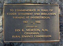
TO COMMEMORATE 25 YEARS OF
CLOSER SETTLEMENT AND IRRIGATION
FARMING AT INVERGORDON
1961 - 1986
Unveiled By
IAN K. MORTON, A.M.
CHAIRMAN,
RURAL FINANCE COMMISSION
Source: MAPlaque:
TO COMMEMORATE 25 YEARS OF
CLOSER SETTLEMENT AND IRRIGATION
FARMING AT INVERGORDON
1961 - 1986
Unveiled By
IAN K. MORTON, A.M.
CHAIRMAN,
RURAL FINANCE COMMISSION
Monument details supplied by Monument Australia - www.monumentaustralia.org.au


