Home » Themes » People » Government - State
Surveyor Robert DixonPrint Page 
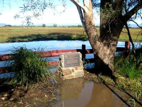
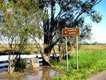
The cairn was erected by the Institute of Surveyors to commemorate surveyor Robert Dixon (1800 - 1858) who established the Normanby Plains trigonomical baseline which started the first accurate mapping of Queensland.
Robert Dixon was an assistant surveyor with the New South Wales Surveyor General's Department, and he surveyed extensive areas of New South Wales and in 1840 was promoted surveyor in charge of the Moreton Bay District. He was suspended after a dispute with the commandment of the penal establishment, Lieutenant German.
Location
| Address: | Warrill View - Peak Crossing Road, Harrisville, 4307 |
|---|---|
| State: | QLD |
| Area: | AUS |
| GPS Coordinates: | Lat: -27.814174 Long: 152.650956 Note: GPS Coordinates are approximate. |
Details
| Monument Type: | Monument |
|---|---|
| Monument Theme: | People |
| Sub-Theme: | Government - State |
Dedication
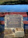
The Institute of Surveyors, Australia
Queensland Division
Bicentennial Project
"In the steps of our forefathers"
In honour of Surveyor Robert Dixon
In October 1839, Surveyor Robert Dixon established the Normanby Plans trigonometrical baseline three miles long approximately through this point. The start pf the first accurate mapping of Queensland.


