Francis MacCabePrint Page 
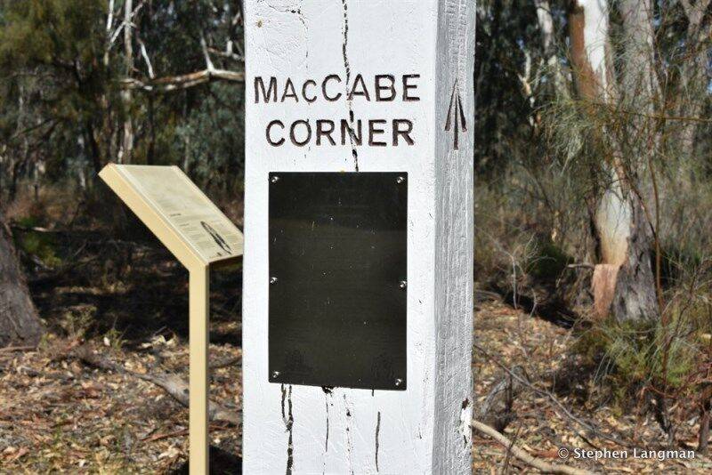
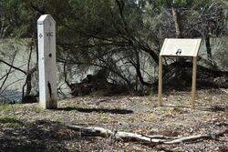
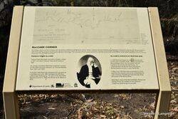
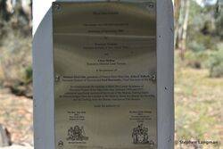
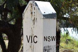
The plaque commemorates the naming of MacCabe Corner in honour of Surveyor Francis MacCabe. The plaque is located on a border marker and adjacent to an information sign which gives details of the MacCabe Survey.
On the 5 March 2008, a tri-State meeting was convened in Melbourne between Mr John Tulloch, Victorian Surveyor-General and Registrar of Geographic Names; Mr Warwick Watkins, New South Wales Surveyor-General and Director-General of Lands, Mr Peter Kentich, South Australian Surveyor-General, the Geographical Names Board of New South Wales; and a Victorian Geographic Place Names Committee.
The Members of the meeting resolved to name the south-west corner of New South Wales MacCabe Corner in honour of the Surveyor Francis Peter MacCabe for is significant field surveys in this area. On the 6 September 2008 the MacCabe Corner plaque as officially unveiled by Mr Warick Watkins, Surveyor-General of New South Wales and Mr Chris McRae, Executive Director Land Victoria. Also present at the unveiling were Michael MacCabe, grandson of Francis Peter MacCabe, John Tullock, Surveyor-General of Victoria and Paul Harcombe, Chief Surveyor of New South Wales.
Francis Peter MacCabe (1817-1897) was a surveyor in the colony of New South Wales in the 19th century. He surveyed and mapped the lower reaches of the Murrumbidgee, Darling, and Murray Rivers in New South Wales. MacCabe also explored and surveyed the Port Curtis district around what is now Gladstone in Queensland, at the request of Sir Thomas Mitchell. This survey took a total of 27 months from June 1853.
Note: MacCabe Corner is located an easy half hour drive from the rural hub of Renmark. When standing at the marker you’ll be on Victorian soil, looking across the Murray River at South Australia on the left hand side and New South Wales on the right.
Location
| Address: | MacCabe Corner, Lindsay Point, 3496 |
|---|---|
| State: | VIC |
| Area: | AUS |
| GPS Coordinates: | Lat: -34.022534 Long: 141.002958 Note: GPS Coordinates are approximate. |
Details
| Monument Type: | Plaque |
|---|---|
| Monument Theme: | People |
| Sub-Theme: | Government - Colonial |
Dedication
| Actual Monument Dedication Date: | Saturday 6th September, 2008 |
|---|
MacCabe Corner
This plaque was officially unveiled on Saturday, 6th September 2008 by Warwick Watkins Surveyor-General of New South Wales and Chris McRae Executive Director Land Victoria in the presence of Michael MacCabe, grandson of Francis Peter MacCabe, John E Tulloch, Surveyor-General of Victoria and Paul Harcombe, Chief Surveyor of NSW.
To commemorate the naming of MacCabe Corner in honour of Surveyor Francis Peter MacCabe who, between 1848 and 1851, completed significant surveys of the rivers of the Murray-Darling Basin: the Murrumbidgee from the Lachlan to the Murray, down the Murray to Chowilla, and the Darling from the Murray Junction to Fort Bourke.
under the authority of
The Hon Tony Kelly MLC The Hon Gavin Jennings MLC
New South Wales Minister for Lands Victorian Minister for Environment and Climate Change


