Home » Themes » Landscape » Settlement
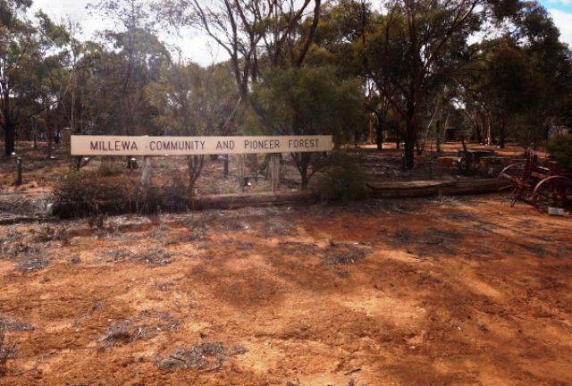
Millewa Community & Pioneer Forest Print Page 
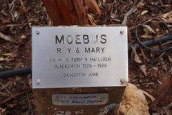
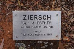
The forest was established in 1986 to recognise the efforts of early settlers creating a livelihood from humble beginnings. 500 memorial trees have been planted, each with a plaque documenting family histories of community and pioneering families. It is run by a voluntary committee, committed to creating a visual hands on display of early Millewa district history and lifestyle.
The Millewa is a large strip of land, situated between sections of Murray Sunset National Park. This area was opened for settlement in the 1920's where prior to that is was all large pastoral holdings, with remnants still evident, one example is Long Plain Pine log tank thought to have been constructed in 1870, on a natural water soak Morkalla. First settlement in the area began on a wheat growing basis where prospective settlers were allocated an average of 750 acres (300 Hectares) of land as purchase leases for agriculture, by 1928 600,000 acres had been taken up by 708 settlers in this semi arid land.
Location
| Address: | Red Cliffs - Meringur Road, Millewa Pioneer Park , Meringur, 3496 |
|---|---|
| State: | VIC |
| Area: | AUS |
| GPS Coordinates: | Lat: -34.389506 Long: 141.337677 Note: GPS Coordinates are approximate. |
Details
| Monument Type: | Trees |
|---|---|
| Monument Theme: | Landscape |
| Sub-Theme: | Settlement |
Dedication
| Actual Monument Dedication Date: | Sunday 6th April, 1986 |
|---|
Millewa Community and Pioneer Forest
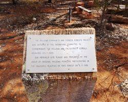
Plaque :
The Millewa Community and Pioneer Forest Project was initiated by the organising Committee to commemorate the Millewa and its District schools reunions (25. 7. 1985)
Our Meringur site plaque was implanted by the group of original Millewa pioneers participating in the inaugural planting of this forest on 6. 4. 1986


