www.monumentaustralia.org.au
Home » Themes » Landscape » Settlement
100 Years of Bute & DistrictPrint Page 
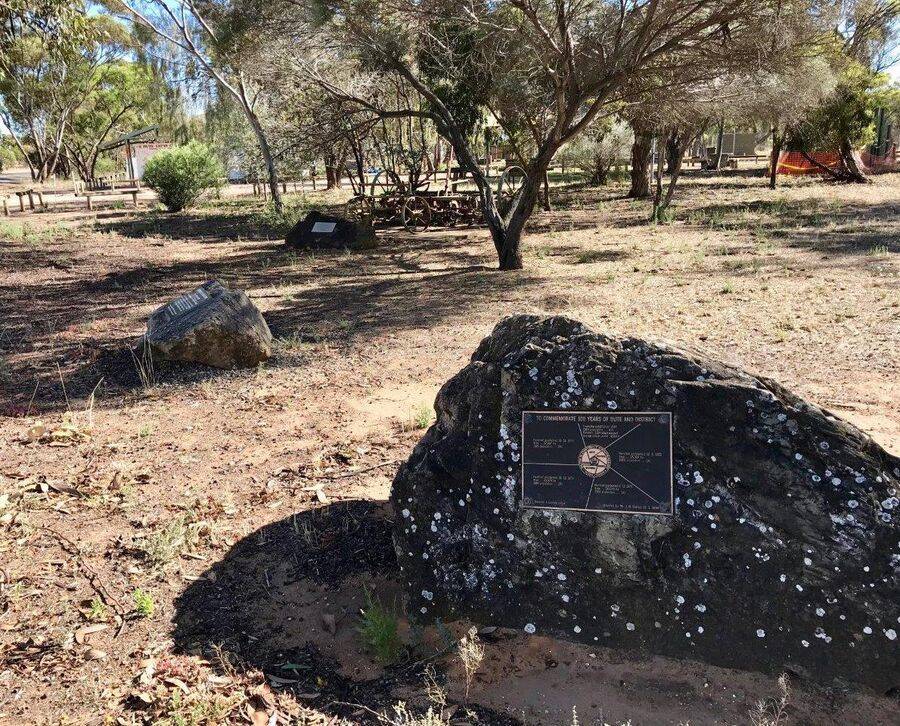
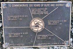
The plaque commemorates 100 years of settlement of Bute and District from 1884 to 1984.
A time capsule containing historical records has been buried beneath the plaque.
The Government Town of Bute was surveyed near the southern boundary of the Hundred of Wiltunga in September 1883 and officially named by Governor William Robinson on 13 March 1884.
Location
| Address: | Barunga Gap Road & Upper Yorke Road, War Memorial Garden, Bute, 5560 |
|---|---|
| State: | SA |
| Area: | AUS |
| GPS Coordinates: | Lat: -33.864324 Long: 138.009886 Note: GPS Coordinates are approximate. |
Details
| Monument Type: | Plaque |
|---|---|
| Monument Theme: | Landscape |
| Sub-Theme: | Settlement |
| Approx. Event Start Date: | 1884 |
| Approx. Event End Date: | 1984 |
Dedication
| Actual Monument Dedication Date: | Sunday 18th March, 1984 |
|---|
Front Inscription
Source: MATO COMMEMORATE 100 YEARS OF BUTE AND DISTRICT
Township established 1884
1984 population ..... 400
Elevation.. 115m above sea level
Average annual rainfall .. 401 mm
Bute & District Centenary
1884 - 1984
Records in capsule below Unveiled by: Mr. J. H. Bettes 18. 3. 1984
Monument details supplied by Monument Australia - www.monumentaustralia.org.au


