www.monumentaustralia.org.au
Home » Themes » Landscape » Settlement
Land & Road Infrastructure DevelopmentPrint Page 
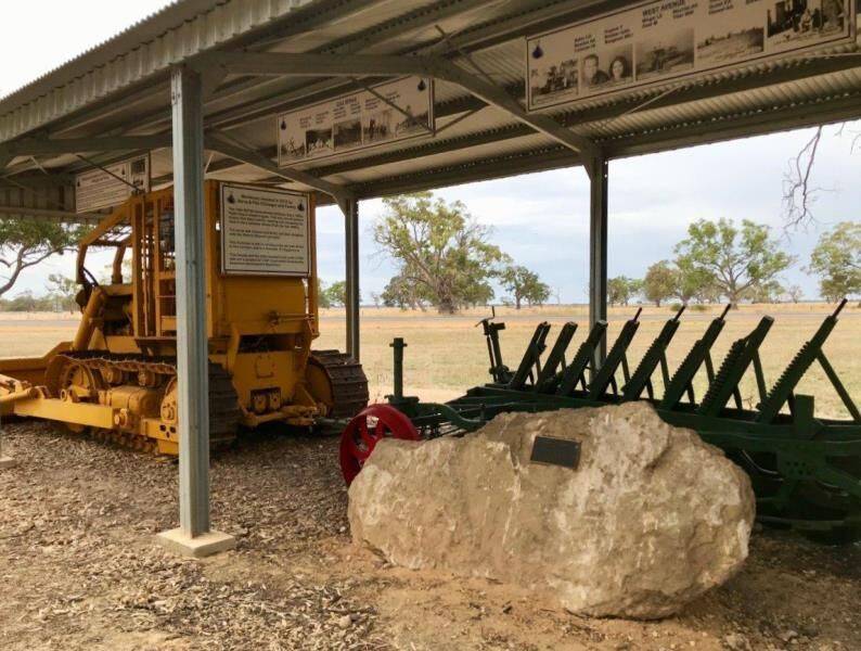
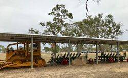
The plaque commemorates the land and road infrastructure development in the Lucinda District since the end of World War Two.
View Google Map
Location
| Address: | Lucindale - Mount Burr Road & Konetta - Naracoorte Road, Lucindale, 5272 |
|---|---|
| State: | SA |
| Area: | AUS |
| GPS Coordinates: | Lat: -37.025901 Long: 140.370966 Note: GPS Coordinates are approximate. |
Details
| Monument Type: | Plaque |
|---|---|
| Monument Theme: | Landscape |
| Sub-Theme: | Settlement |
Dedication
| Actual Monument Dedication Date: | Saturday 10th March, 2018 |
|---|
Front Inscription
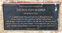
Source: MAThis plaque was unveiled by the Hon. Rory McEwen on March 10th 2018
To commemorate the land and road infrastructure development in the Lucinda District since WWII and marks an important time in the history of the Lucindale District including the involvement of soldier settlers, private land owners, development contractors and the community.
Project of LINC
Monument details supplied by Monument Australia - www.monumentaustralia.org.au


