www.monumentaustralia.org.au
Home » Themes » Landscape » Settlement
Surveying of Stone Hut TownshipPrint Page 
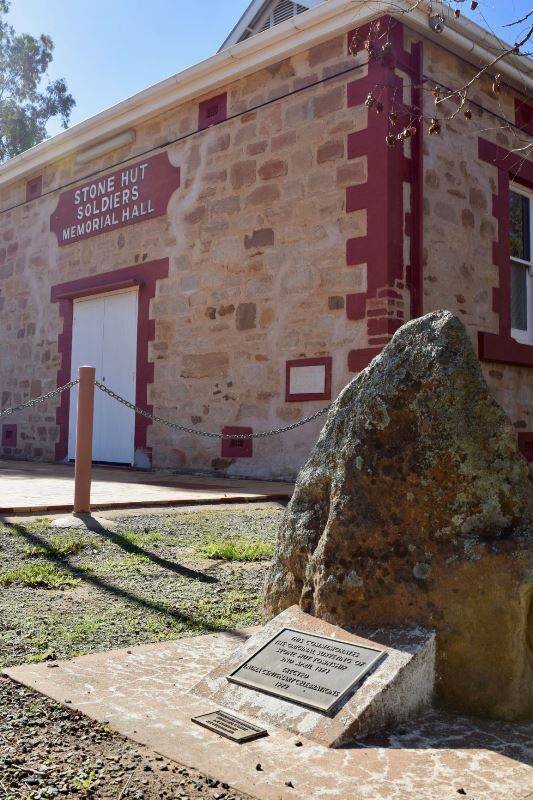
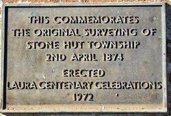
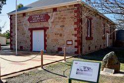
The plaque commemorates the original surveying of Stone Hut in April 1874. The plaque was unveiled during the Laura Centenary celebrations in 1972.
Location
| Address: | Horrocks Highway & Borthwick Street, Soldiers Memorial Hall, Stone Hut, 5480 |
|---|---|
| State: | SA |
| Area: | AUS |
| GPS Coordinates: | Lat: -33.106079 Long: 138.297495 Note: GPS Coordinates are approximate. |
Details
| Monument Type: | Plaque |
|---|---|
| Monument Theme: | Landscape |
| Sub-Theme: | Settlement |
| Actual Event Start Date: | 02-April-1874 |
| Actual Event End Date: | 02-April-1874 |
Dedication
| Actual Monument Dedication Date: | Sunday 8th October, 1972 |
|---|
Front Inscription
Source: MAThis cmmemorates the original surveying of Stone Hut Township
2nd April 1874
Erected Laura Centenary Celebrations
1972
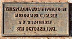
Plaque :
This plaque was unveiled by Mesdames C. Casey & K. Northeast
8th October, 1972.
Monument details supplied by Monument Australia - www.monumentaustralia.org.au


