Home » Themes » Landscape » Settlement
150 Years of SettlementPrint Page 
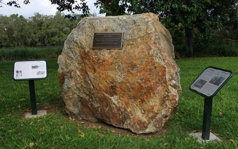
The monument commemorates 150 years of settlement of Tumbulgum.
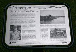
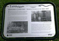
The Australian Red Cedar growing in the Tumbulgum area attracted timber-cutters from the 1840s and by the early 1860s a small community and river port had been established on the northern side of the Tweed River where it met the Rous. The town was originally called "Tweed Junction" but in 1880 the residents petitioned to have the name changed to "Tumbulgum". This was claimed to mean "meeting place of the waters" in an Aboriginal language but others claimed translations include "a large fig" or "wild fig tree". By 1885, the town had mostly moved to the southern bank of the Tweed.
In the 1880s Tumbulgum was the principal town in the Tweed Valley with an active commercial sector, including a bank. It was not until construction of the rail line to Lismore in 1897 and the Murwillumbah Bridge in 1901 that Murwillumbah supplanted Tumbulgum as the major centre on the Tweed.
Location
| Address: | Dulguigan Road, Bluey Hill Park, Tumbulgum, 2490 |
|---|---|
| State: | NSW |
| Area: | AUS |
| GPS Coordinates: | Lat: -28.273093 Long: 153.458593 Note: GPS Coordinates are approximate. |
Details
| Monument Type: | Monument |
|---|---|
| Monument Theme: | Landscape |
| Sub-Theme: | Settlement |
| Approx. Event Start Date: | 1866 |
| Approx. Event End Date: | 2016 |
Dedication
| Actual Monument Dedication Date: | Saturday 12th November, 2016 |
|---|
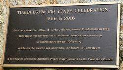
Tumbulgum 150 years celebration
1866 to 2016
Here once stood the village of Tweed Junction, named Tumbulgum in 1881.
This plaque was unveiled on 12 November 2016 as our community celebrates the past 150 years, celebrates the present and anticipates the future of Tumbulgum.
A Tumbulgun Community Association Project proudly sponsored by the Tweed Shire Council


