www.monumentaustralia.org.au
Home » Themes » Landscape » Settlement
District of Kilcunda RoadPrint Page 
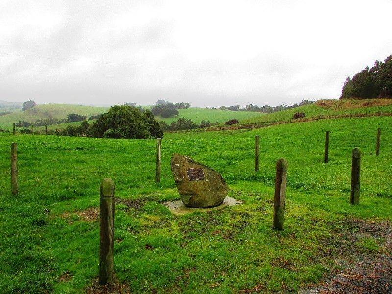
The monument commemorates the District of Kilcunda Road which was surveyed in 1879.
View Google Map
Location
| Address: | Bena - Kongwak Road, near intersection with Buchanans Road, Bena, 3946 |
|---|---|
| State: | VIC |
| Area: | AUS |
| GPS Coordinates: | Lat: -38.446881 Long: 145.715568 Note: GPS Coordinates are approximate. |
Details
| Monument Type: | Monument |
|---|---|
| Monument Theme: | Landscape |
| Sub-Theme: | Settlement |
| Approx. Event Start Date: | 1879 |
Dedication
| Approx. Monument Dedication Date: | 2008 |
|---|
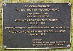
Front Inscription
Source: MATO COMMEMORATE THE DISTRICT
OF KILCUNDA ROAD
First Surveyed 1879.
This Is The Site Of The
KILCUNDA ROAD UNITING CHURCH
1911 to 1966.
Diagonally Opposite At 645 Bena-Kongwak Road Was The Site Of The
KILCUNDA ROAD PRIMARY SCHOOL No: 3337,
1902 to 1975.
Erected By
The School Mother’s Club Continuing As
The Kilcunda Road Social Club 2008.
Monument details supplied by Monument Australia - www.monumentaustralia.org.au


