Home » Themes » Landscape » Settlement
Centenary of Bongaree SettlementPrint Page 

Location
| Address: | Toorbul Street, Bongaree, 4507 |
|---|---|
| State: | QLD |
| Area: | AUS |
| GPS Coordinates: | Lat: -27.083941 Long: 153.158291 Note: GPS Coordinates are approximate. |
Details
| Monument Type: | Plaque |
|---|---|
| Monument Theme: | Landscape |
| Sub-Theme: | Settlement |
| Approx. Event Start Date: | 1912 |
| Approx. Event End Date: | 2012 |
Dedication
| Approx. Monument Dedication Date: | May-2012 |
|---|
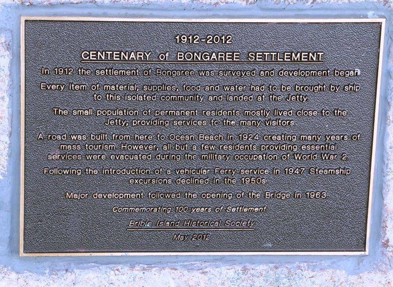
1912 - 2012
Centenary of Bongaree Settlement
In 1912 the settlement of Bongaree was surveyed and development began
Every item of material, supplies, food and water had to be brought by ship to this isolated community and landed at the jetty.
The small population of permanent residents mostly lived close to the jetty, providing services to the many visitors.
A road was built from here to Ocean Beach in 1924 creating many years of mass tourism. However, all but a few residents providing essential services were evacuated during the military occupation of World War 2.
Following the introduction of a vehicular ferry service in 1947 steamship excursions declined in the 1950s. Major development followed the opening of the bridge in 1963.
Commemorating 100 years of settlement
Bribie Island Historical Society
May 2012


