Home » Themes » Landscape » Settlement
Pioneers of OakleighPrint Page 
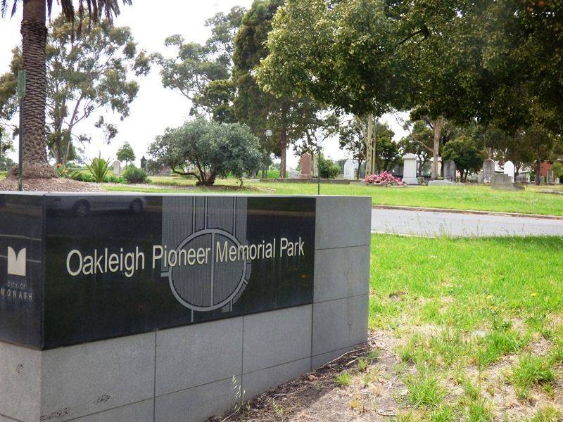
The former Oakleigh General Cemetery, now known as Oakleigh Pioneer Memorial Park, is located in the heart of a residential and shopping centre. But when first formed from a township reserve, it was bushland.
An Order-in-Council in 1859 set aside ten acres for a cemetery, bounded by what are now Warrigal Road, Atherton Road, Drummond Street and the Oakleigh Recreation Reserve. The first trustees were appointed in 1860: Patrick William Niall, Richard McClure, Charles Nelson, William Head and Robert Glover Benson.
The original layout of the cemetery was based on an elliptical carriageway with a north/south path dividing the Church of England and Roman Catholic denominational compartments. This created a formal centrepiece from which radiating paths separated areas allocated to Wesleyan, Baptist, Presbyterian and Independent denominations.
In 1909 an Order-in-Council discontinued the sale of new grave sites. Threats of closure caused great controversy over many years. Interments continued for holders of burial rights until 1960 when the cemetery was finally closed.
The Council of the City of Oakleigh was appointed as Trustee on 2 May 1961 until, in 1994, the City of Oakleigh was amalgamated to form the City of Monash.
Over the years the original allotment of land for the cemetery has been reduced by the taking of land for such sites as a post office, council chambers, Memorial Hall, baby health centre (now demolished), municipal offices, parks & gardens, road widening, and Recreation Reserve extensions.
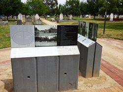
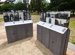
The Oakleigh and District Historical Society, founded in 1981, requested protection of the area and Council responded in 1986 by providing for the formation of the (Oakleigh) Pioneer Cemetery Beautification Committee. The committee comprised councillors, municipal officers, local Members of Parliament, interested residents and representatives of the then Health Department of Victoria and the Ministry of Planning & Environment. In 1988 the cemetery was rededicated as a memorial park.
Location
| Address: | Drummond Street, Oakleigh Pioneer Memorial Park, Oakleigh, 3166 |
|---|---|
| State: | VIC |
| Area: | AUS |
| GPS Coordinates: | Lat: -37.897735 Long: 145.088543 Note: GPS Coordinates are approximate. |
Details
| Monument Type: | Park |
|---|---|
| Monument Theme: | Landscape |
| Sub-Theme: | Settlement |
Dedication
| Approx. Monument Dedication Date: | 1988 |
|---|
Oakleigh Pioneer Memorial Park


