Home » Themes » Landscape » Exploration
Captain Cook Bi-centenaryPrint Page 
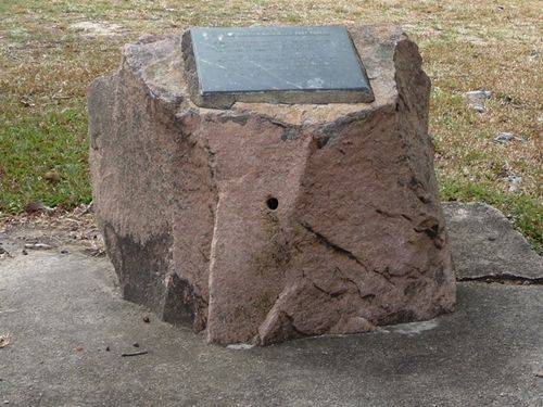
The cairn commemorates the bi-centenary of Captain James Cook's exploration, charting and claiming of the east coast of Australia for the British Empire and his visit to this part of the Queensland coast.
Captain James Cook claimed the whole of the east coast of Australia for Great Britain on 22 August 1770, naming eastern Australia, 'New South Wales.'
Location
| Address: | Rigby Street, Borello Park, Lucinda, 4850 |
|---|---|
| State: | QLD |
| Area: | AUS |
| GPS Coordinates: | Lat: -18.525194 Long: 146.333714 Note: GPS Coordinates are approximate. |
Details
| Monument Type: | Monument |
|---|---|
| Monument Theme: | Landscape |
| Sub-Theme: | Exploration |
| Actual Event Start Date: | 08-June-1770 |
| Actual Event End Date: | 08-June-1770 |
Dedication
| Actual Monument Dedication Date: | Saturday 30th May, 1970 |
|---|
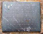
CAPTAIN COOK BI-CENTENARY
On 8th June 1770 Captain James Cook Sailed
These Waters In The H.M.S. Endeavour On
His Voyage Of Discovery Of Australia.
Hillock Point To The North, And The Palm
Islands A Few Miles East Of This Spot Were
Named By Cook, And The Palm Islands Were
Visited By A Landing Party From The Ship.
This Cairn Was Placed On 30th May, 1970
—Donated By CSR Co. Ltd.


