www.monumentaustralia.org.au
Home » Themes » Landscape » Exploration
Matthew Flinders Print Page 
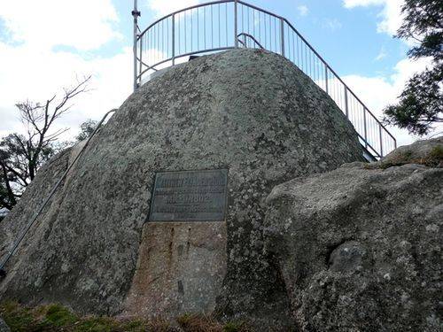
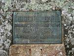
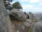
The bronze plaque affixed to a granite tor on the top of Flinders Peak commemorates Matthew Flinders who climbed the highest point of the You Yangs, now named in his honour, in 1802 and charted Port Phillip Bay. The peak was originally named by Flinders as Station Peak.
Matthew Flinders was recognised in his time as one of the world`s best navigators and hydrographers. He was first to correct the nautical compass for errors.
Unveiled by His Excellency, Sir John Fuller, Governor of Victoria, it records the ascent of the You Yangs.
Location
| Address: | Flinders Peak Walk via Turntable Drive Car Park, Flinders Peak, You Yangs National Park, Lara, 3212 |
|---|---|
| State: | VIC |
| Area: | AUS |
| GPS Coordinates: | Lat: -37.951032 Long: 144.42495 Note: GPS Coordinates are approximate. |
Details
| Monument Type: | Plaque |
|---|---|
| Monument Theme: | People |
| Sub-Theme: | Exploration |
| Actual Event Start Date: | 01-May-1802 |
| Actual Event End Date: | 01-May-1802 |
Dedication
| Actual Monument Dedication Date: | Friday 19th April, 1912 |
|---|
Front Inscription
Source: MA,MEDMATTHEW FLINDERS RN
Stood On This Rock To Survey The Bay
MAY 1, 1802
National Parks Association
1912.
Monument details supplied by Monument Australia - www.monumentaustralia.org.au


