Home » Themes » Landscape » Exploration
Bicentenary of Matthew Flinders` LandingPrint Page 
In 1799 Flinders' request to explore the coast north of Port Jackson was granted and once more the sloop Norfolk was assigned to him. Bass had by this stage returned to Britain and in his place Flinders recruited his brother Samuel Flinders and a Kuringgai man named Bungaree for the voyage.
In the northern part of Moreton Bay, Flinders explored a narrow waterway which he named the Pumice Stone River (presumably unaware it separated Bribie Island and the mainland); it is now called the Pumicestone Passage. Most of the meetings between the Aboriginal people of Moreton Bay and Flinders were of a friendly nature, but on 15 July at the southern tip of Bribie Island, a spear was thrown which resulted in a local man being wounded by gunfire. Flinders named the place where this occurred Point Skirmish. While anchored in Pumicestone, Flinders ventured several kilometres overland with three crew including Bungaree and climbed the mountain Beerburrum. They turned back after meeting the steep cliffs of Mount Tibrogargan on about 26 July.
Exiting Moreton Bay, Flinders continued north exploring as far as Hervey Bay before returning south. They arrived back in Sydney on 20 August 1799.
Location
| Address: | Sunderland Avenue, Bribie Island Community Arts, Bribie Island, 4057 |
|---|---|
| State: | QLD |
| Area: | AUS |
| GPS Coordinates: | Lat: -27.048377 Long: 153.153641 Note: GPS Coordinates are approximate. |
Details
| Monument Type: | Art |
|---|---|
| Monument Theme: | Landscape |
| Sub-Theme: | Exploration |
| Actual Event Start Date: | 16-July-1799 |
| Actual Event End Date: | 16-July-1999 |
| Monument Manufacturer: | Lazlo Paradzik |
| Link: | http://adb.anu.edu.au/ |
Dedication
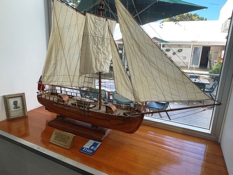
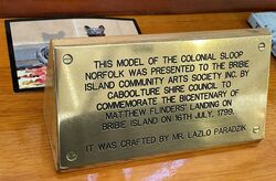
This model of the colonial sloop Norfolk was presented to the Bribie Island Community Arts Society Inc, by Caboolture Shire Council to commemorate the Bicentenary of Matthew Flinders' landing on Bribie Island on 16th July, 1799.
It was crafted by Mr. Lazlo Paradzik


