25th Anniversary of the 1974 FloodPrint Page 
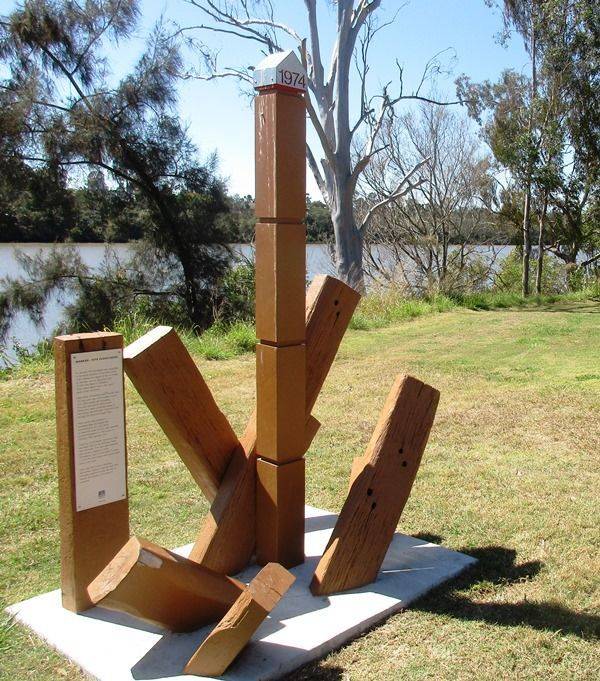
The marker commemorates the 25th anniversary of the Brisbane Flood. A maximum level of 9.8 metres was reached by floodwaters in The Corso on Tuesday 29 January 1974.
Location
| Address: | Brisbane Corso , Brisbane Corso Park , Yeronga, 4104 |
|---|---|
| State: | QLD |
| Area: | AUS |
| GPS Coordinates: | Lat: -27.505722 Long: 153.01361 Note: GPS Coordinates are approximate. |
Details
| Monument Type: | Monument |
|---|---|
| Monument Theme: | Disaster |
| Sub-Theme: | Flood |
Dedication
| Approx. Monument Dedication Date: | May-1999 |
|---|
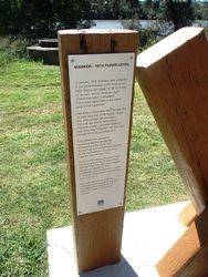
Marker - 1974 Flood Level
In January 1974 Brisbane was subjected to the worst flooding of the River since 1893. Heavy rain began to fall on Friday 25 January and by Saturday night 375mm had fallen in Brisbane. There were higher fallis in the inland parts of the catchment.
Vast areas of Brisbane were flooded and 14 lives were lost, 6700 homes ruined and 5000 people left homeless. The cost was almost $200 million. Those who were unharmed rallied to help those less fortunate. Few who lived through the flood will forget them.
This marker was erected to commemorate the twenty-fifth anniversary of the 1974 flood. A maximum level of 9.8m was reached by the floodwaters in The Corso on Tuesday January 1974.
Since the 1974 floods, Wivenhoe Dam has been built on the Brisbane River near Fernvale. The dam was designed with excess capacity to store floodwaters, and if it had been in place in 1974 the flood level here would have been 2.8m lower.
Each year the Council allocates substantial funds to regional and local drainage projects across the City to reduce the impact of flooding on residents.
Brisbane City
May 1999


