Goyder`s LinePrint Page 
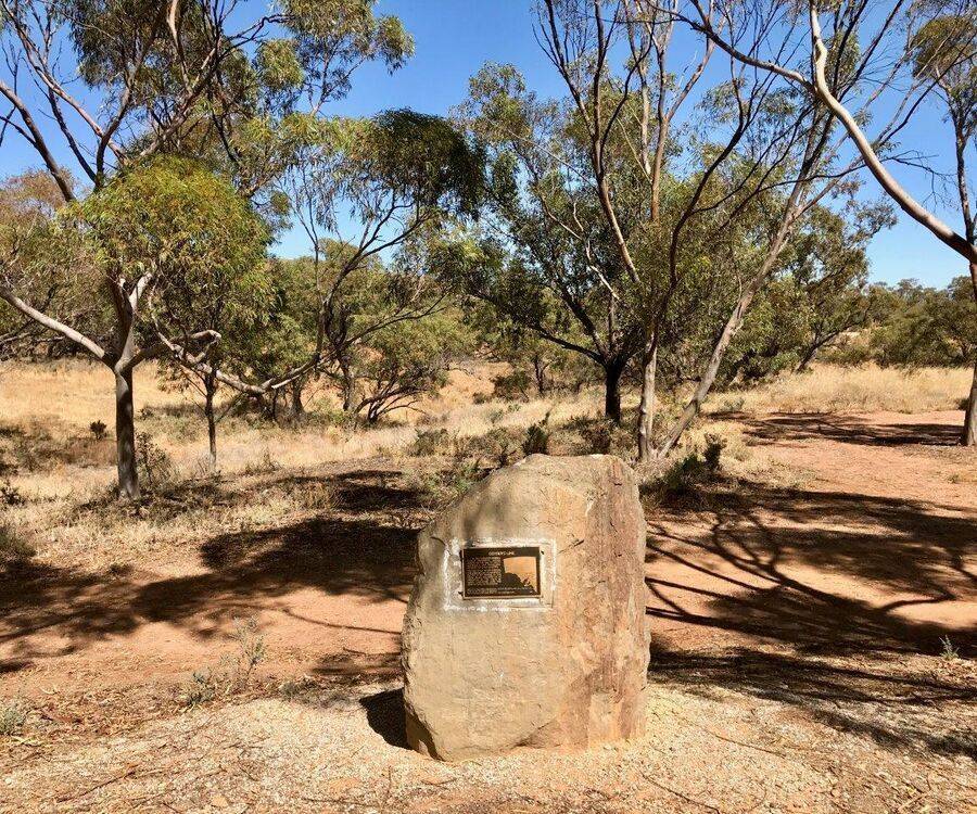
The monument commemorates Goyders Line. Goyder's Line became a National Trust of Australia Heritage Icon in 2003.
Goyder's Line is a boundary line across South Australia corresponding to a rainfall boundary believed to indicate the edge of the area suitable for agriculture. North of Goyder's Line, the rainfall is not reliable enough, and the land is only suitable for grazing and not cropping.
George Woodroffe Goyder was born on 24 June 1826 in Liverpool. He emigrated to New South Wales when he was 22 years of age and soon after came to live in South Australia. His talent as a surveyor led him to be appointed in 1853 to the Colonial Engineers Office , and in 1861 he was appointed Surveyor General.
After a shocking drought in 1864 to 1866, farmers were looking for concessions from the government. In 1865 Goyder set off to determine “the line of demarcation between the portion of the country where the rainfall has extended and that where the drought prevails”.
Location
| Address: | Willowie Road, Morchard Parking Bay, Morchard, 5431 |
|---|---|
| State: | SA |
| Area: | AUS |
| GPS Coordinates: | Lat: -32.73411 Long: 138.536836 Note: GPS Coordinates are approximate. |
Details
| Monument Type: | Monument |
|---|---|
| Monument Theme: | Disaster |
| Sub-Theme: | Drought |
Dedication
| Approx. Monument Dedication Date: | 1985 |
|---|
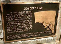
Goyder's Line
In 1865 Surveyor-General George Woodroffe Goyder marked on the map of South Australia a line delineating drought - affected country.
The line, which passes through this area, became an important factor in settlement in this State, being regarded as an indication of the limits of lands considered safe for agricultural development.
Erected by the Royal Geographical Society of Australasia (S. A. Branch ) Inc. & the District Council of Orroroo
Financial assistance from the State Heritage Fund.
1985


